Mo'orea island French Polynesia a volcanic island in these 360 Area Places
Link Location Gps ← Find Best directions
GPS Coordinates / -17.5403819,-149.8267839
Mo/orea Island French Polynesia Scenery 360 Area Places
F55F+V7C, Moorea-Maiao, French Polynesia
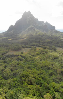
Come with us to the island of Mo'orea in French Polynesia to take in the beauty and sights and scale the surrounding mountains and landscape or appreciate the beautiful Polynesia harbors that neighbor mainline Polynesia, there’s a vast vertical wilderness to explore within this scenery
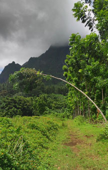
Pathway leading to the mountains
Top forest views with top vista Panorama views
Link Location Gps / Gps Link -149.8300408 / Gps Link -149.8355578 / Gps Link -149.8456334
Gps Coordinates / -17.5354686,-149.8300408 / -17.5266716,-149.8355578 / -17.4945036,-149.8456334
According to recent archaeological evidence, the Society Islands were probably settled from Samoa and Tonga around 200 AD. Nine tribal principalities emerged in the enclosed valleys, which in turn were subdivided into individual clans. The stratified society was characterized by a hierarchical leadership whose elite combined both political and religious power. The leading families of Moorea remained linked by marriage and kinship for centuries with those of the neighboring island of Tahiti. These connections led to important alliances, but at other times were also the source of bloody conflicts.
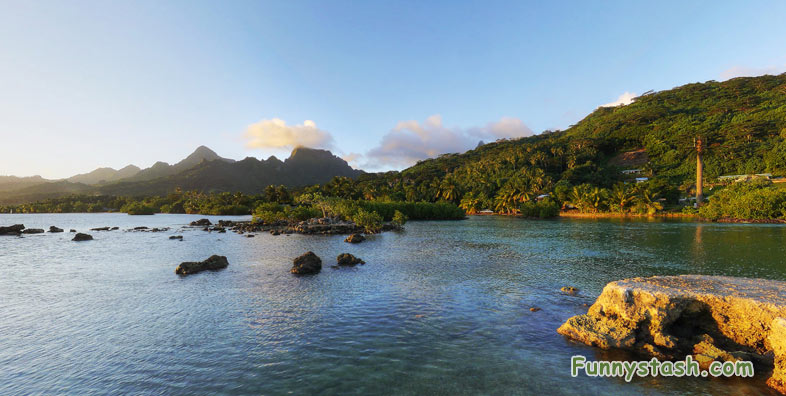
View from the side with the sunsetting in the west
Link Location Gps -149.8668449
Gps Coordinates / -17.571755,-149.8668449
The first European to sight the island was Pedro Fernandes de Queirós, in 1606. The first European settlers arrived during the 18th century. The first Europeans to arrive on the island were the Englishmen Samuel Wallis and James Cook. Captain James Cook first landed on Tahiti, where he planned the 1769 Transit of Venus observed from Tahiti and Mo'orea. At Mo'orea, where Ta'aroa was chief, Cook first landed in 'Ōpūnohu Bay, Cook's Bay was later named in his honor. Spanish sailor Domingo de Bonechea visited it in 1774 and named it Santo Domingo.
Sunlight over the Polynesia followed by local tour at the end by Tahiti360.pf
Link Location Gps / Gps Link -149.8268162 / Gps Link -149.8291333 / Gps Link -149.8331194
Gps Coordinates / -17.5403375,-149.8268162 / -17.5329117,-149.8291333 / -17.5331574,-149.8331194
Charles Darwin found inspiration for his theory regarding the formation of coral atolls when looking down upon Mo'orea while standing on a peak on Tahiti. He described it as a "picture in a frame", referring to the barrier reef encircling the island. The island was formed as a volcano 1.5 to 2.5 million years ago, the result of the Society hotspot in the mantle under the oceanic plate that formed the whole of the Society Archipelago. It is theorized that the current bays were formerly river basins that filled during the Holocene searise.
Peaceful tourist location was once an area of warring tribes for thousands of years prior to European discovery
Gps Coordinates / -17.5015943,-149.848811
The majority of the local population is affiliated with Christianity, a consequence of European colonization and the activity of missionary groups from both the Catholic Church and various Protestant groups. The Catholic Church controls 4 church buildings and a religious center on the island, all under the jurisdiction of the Metropolitan Archdiocese of Papeete with headquarters on the island of Tahiti. Near Afareaitu is Moorea's oldest worship platform, the Marae Umarea, built around 900 AD, with its enclosure of large coral slabs directly over the lagoon.
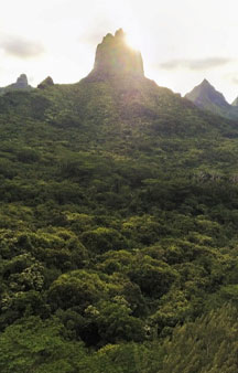
Aerial View of Mo'orea Island French Polynesia


