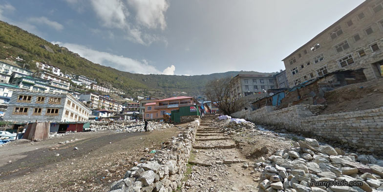
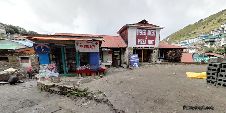
Ever wondered what Everest main-street looked like in these VR Street-View Panoramic 360° Location directions
Link Location Gps ← Find Best directions
Gps Coordinates / 27.8043563,86.7104506
Mount Everest Main Street walkways 360 VR maps Street-View
Namche Marg, Namche 56000, Nepal
Slightly further down the mainstreet the local airport can be located
look below to see the most dangerous runway in the world, you aint going into a river if you run out of runway, your going over the mountain, the elevation of this particular runway is Elevation: 2,860 m, almost 3.000 meters above sea level (‘o^)---hold tight> that’s almost half the height of Mount Everest or three times the height of Ben Nevis in Scotland and windspeeds recorded at an amazing 175-miles/hour
Tenzing-Hillary Airport, the local airport
Coordinates 27.804334, 86.710445
The Local Airport is bizarre scary
Aerial View Most Scariest Airport in The World
Absolutely no danger on this runway, completely safe (Ͼ˳Ͽ)
Gps Coordinates / 27.6881457,86.7319626
Entrance of the Everest Main-Street High-Street
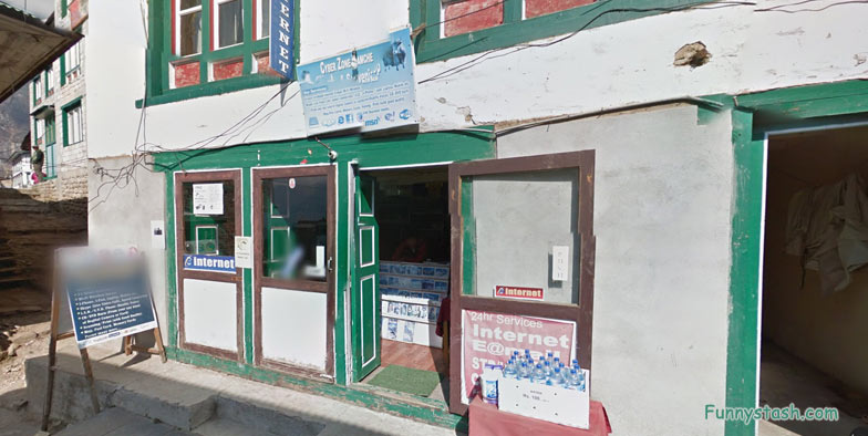
Mt Everest Cybercafe
GPS Coordinates / 27.8046928,86.7094742
post below if you find anything neat around below with a small linked picture which is always helpful for others


