Nuclear radiated city of Fukushima in these VR Street-View Panoramic 360° Location directions
Link Location Gps ← Find Best directions
Gps Coordinates / 37.4062726,141.0318726
FUKUSHIMA Japan Nuclear Plant Meltdown VR maps Street-View
Ottozawa, Okuma, Futaba District, Fukushima 979-1301, Japan
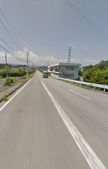
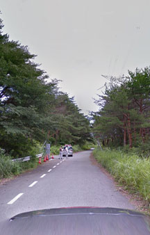
You can almost see the silos that were exploding from hydrogen above those trees, as they were cooling these things with salt water from the ocean and the heat from the radiation was so hot it was breaking the water down to it's basic molecule which is hydrogen and that's an explosive gas so there was huge explosions and the silos were melting the dirt sinking into the ground aswell as exploding, the whole thing was a disaster. You would have seen huge explosions sending deadly radioactive clouds into the sky above here, unlike the batman movie it isn't green poisonous gas, radiation is invisible and strips the atoms right off you body and alters your very DNA even affecting your bloodline then on after, scary stuff being anywhere near these things
Gps Coordinates / 37.406195, 141.031850
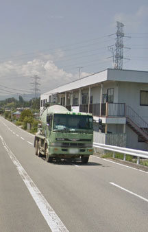
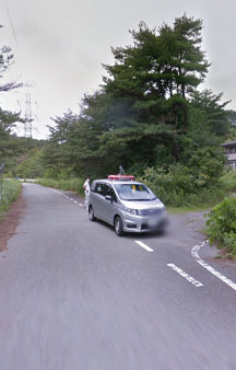
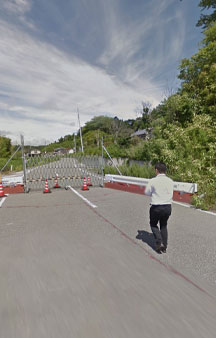
Just driving to work in my Hazmat suit, what's yer problem
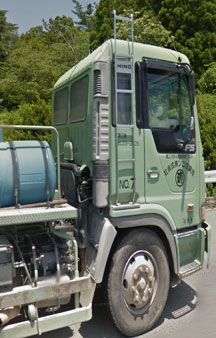
I have a preconceived notion of apocalyptic events so in my impression this guy is full throttling his radioactive vehicle to ground zero, it's a cement truck to likely fortify the leak, cements uses an awful lot of water, all waste including the water in contaminated zones need to be contained something as unsuspecting as leaking water is enormously hazardous and needs sealed in metal drums so zero onsite water at ground zero will be allowed without clearance not as much as a single glass of water would be permitted.
-
Cement truck on it's way toward the disaster power plant Fukushima in full hazmat suit in baking sun concealed in truck compartment
Link Location Gps / Gps Link 37.417724 / Gps Link 37.4177211 / Gps Link 37.4177169
Gps Coordinates / 37.417724,141.0187859 / 37.4177211,141.0186745 / 37.4177169,141.0185607
Even the most regular inacouous looking thing in Fukushima is now infamous from a vending machine to a broken down car to a workstation will now live in infamouy due to the events that occurred on 11 March 2011 the most powerful earthquake ever recorded in Japan that sparked this Nuclear power plant disaster not seen o similar levels since Chernobyl of April 1986
Earthquakes Tsunamis and nuclear meltdowns, sounds like an indie rock band
Gps Link 37.4176887 / Gps Link 37.4121886 / Gps Link 37.405199
Gps Coordinates / 37.417729, 141.017550 / 37.412184, 141.017806 / 37.405154, 141.025950
You see those circles on the map this is immediate after effects of the March 2011 disaster on the map, Google maps updated for 2011 media experts, those circles you see on the map of the power plant is the water used to cool down the nuclear reactor chambers, they can't just dump that water they need to store it because once the water is mixed with nuclear contaminant the water itself becomes extremely dangerous and needs to be stored. It would take the permission and an act of the Japanese Parliament to dump it which would infuriate the local population.
Who wants to go to the beach
Fukushima occurred on March 2011 these disaster Panoramas were recorded on July 2013, i know through my own experience that the dates seem to be a few years behind sometimes so this date could very well be soon after the disaster happened, people have reached out to official Google but no response was given back. Either way a decade later in 2023 and Fukushima is still as bad as the day it occurred because what do you do with the radioactive waste after nuclear power plant disaster Chernobyl still wrestles with those very same questions from the 1980's.
-
Idling with research papers wearing t-shirts around nuclear disaster areas is a very brave thing to do
Link Location Gps / Gps Link 37.42653 / Gps Link 37.426542 / Gps Link 37.4265912
Gps Coordinates / 37.42653,141.0204492 / 37.426542,141.0205213 / 37.4265912,141.0209326
The Japanese government has floated the idea of just dumping thousands upon thousands barrels of radioactive waste into the neaby ocean has caused uproar by local fishermen who are scared it may stigmitize their industry, the government will buy local produce from fishermen to destroy it out of fear it could be harmful to humans, this will likely be a decades long process that may never end anytime soon.
-
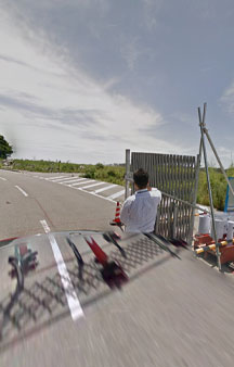
T-Shirt in google Car, guess it’s kinda okay if you have a car as a shield, but i’d still want a hazmat type Faraday cage suit from radiation
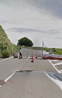
Controlled gated areas with people wearing office attire seems immediately unwise, bare skin without the use of gloves is beyond my comprehension of nuclear disaster zone lore that i'm used to knowing something about due to my apocalyptic movie enjoyment over the years.
-
Link Location Gps / Gps Link 37.4648051 / Gps Link 37.4647796 / Gps Link 37.4646994
Gps Coordinates / 37.4648051,141.0285729 / 37.4647796,141.0286656 / 37.4646994,141.0287721
I'd assume the claims court is going to be busy with these workers claiming very ill health due to being unprotective, even as an Indiana Jones fan as a toddler i would cover my face with a napkin walking into a damp spore cave as even the famous explorer Jones would do, they proved that was how the discoverers of Tutankhamun died by breathing in toxic dry air of the ancient tombs. Now i would assume you could magnify that argument 1000x with radiation.
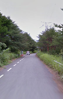
Radiation security checking all citizens in the town, you'd think this town would want guests it may be lonely for the next 24 thousand years. On another, finally people are starting to wear protection while working in a town hit with a nuclear meltdown, for all your Power Plant Meltdown Panorama360s always check in with Funnystash


