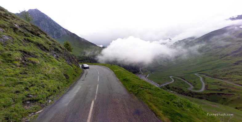
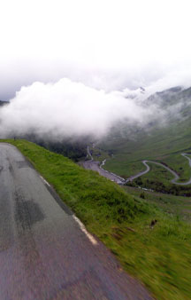
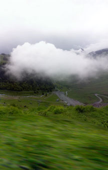
Alpine Valleys 5,354 feet above sea level where sometimes you can drivepast clouds on the roads with villages sharing the border of France and Spain.
Link Location Gps ← Find Best directions
Gps Coordinates / 42.903444,0.108469
Cloud Roadside Level Street View VR France
Touët et Labach, 65120 Barèges, France
Further down the path albeit several thousands of feet below those several thousands of feet within the alps and villages of France or Spain meet as the borders overlap here but higher up on the alps there's only a few ways to cross up this way between France and spain as terrain becomes more unforgiveable.
This mountains valley pass is called the Caoubere has it's own paragliding map with freeriding maps
Gps Coordinates / 42.905392,0.119042
For five and a half thousand feet these stretches of the alpine valleys are frequently visited as the passing cars can show.
Link Location Gps / Gps Link 42.903911 / Gps Link 42.903872 / Gps Link 42.903786
Gps Coordinates / 42.903911,0.109428 / 42.903872,0.109358 / 42.903786,0.109211
The tarmac roads are always properly maintained as it drives more incentives for international tourism.
Link Location Gps / Gps Link 42.903700 / Gps Link 42.903656 / Gps Link 42.903614
Gps Coordinates / 42.903700,0.109044 / 42.903656,0.108956 / 42.903614,0.108867
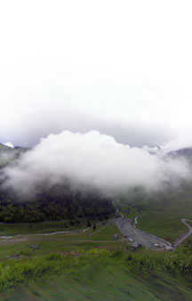
Further down the alps a few hundred feet you can see a hive of activity below, it has an actual Bike park below there i believe the name of the bicylce park at the time of writing was called Joes Bike Park Bareges.
Link Location Gps / Gps Link 42.903539 / Gps Link 42.903506 / Gps Link 42.903392
Gps Coordinates / 42.903539,0.108692 / 42.903506,0.108611 / 42.903392,0.108356
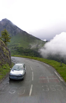
You'll notice very large washed up writing signs on the road, i'm sure it's just patriotic messages for cycling fans but my paranoid thinking would get me believing it's a government danger message and my life is in peril for not being able to read it being washed out by the weather.
Link Location Gps / Gps Link 42.903392 / Gps Link 42.903314 / Gps Link 42.9032102
Gps Coordinates / 42.903392,0.108356 / 42.903314,0.108222 / 42.903200,0.108153
Next to that it has Barèges Bike Park, Grand Tourmalet which could be a cycling contest or maybe not but the french do take their cycling seriously i'm sure you see professional cyclists here all the time, when professional cyclists pass you when they're trying uphill you really realize the level of acceleration they exhibit it's superpower in nature compared to a regular cyclist.
Link Location Gps / Gps Link 42.903097 / Gps Link 42.903039 / Gps Link 42.9030361
Gps Coordinates / 42.903097,0.108150 / 42.903039,0.108156 / 42.9030361,0.1081523
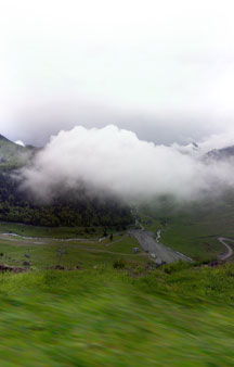
The cool thing about driving past clouds is when you see a rainbow you can never really drive to it but with clouds you can really drive to it, who knew.
Link Location Gps / Gps Link 42.902842 / Gps Link 42.902622 / Gps Link 42.902461
Gps Coordinates / 42.902842,0.108178 / 42.902622,0.108225 / 42.902461,0.108264
Turning corners around here seems really dangerous about these parts however when you hear fell from 5,354 feet is not the real number you'd likely fall a few hundred feet but it would be life changing if you did.
Link Location Gps / Gps Link 42.902294 / Gps Link 42.902206
Gps Coordinates / 42.902294,0.108306 / 42.902206,0.108325
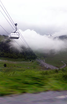
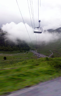
As you turn the corner you start to notice a transport machine known as the Ski Carriage popular with snowboarders and skiers but you can just take the trip for the viewable adventure to see the top of the mountain.
Gps Coordinates / 42.903978,0.109561
Now passing under the Ski Carriage, this Ski Carriage will take you right up the mountains valley and spans the mountain you can come down the same path or while at the summit hitch another ride on another Ski Carriage further up Le Bastans mountain creek.


