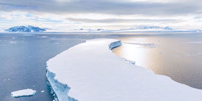
Antarctica Ice Sheet captured from a drone gives you unparalleled access to the horizon in these Google map VR panoramic 360° drone photosphere map views
Link Location Gps ← Find Best directions
Antarctica Icesheet Drone
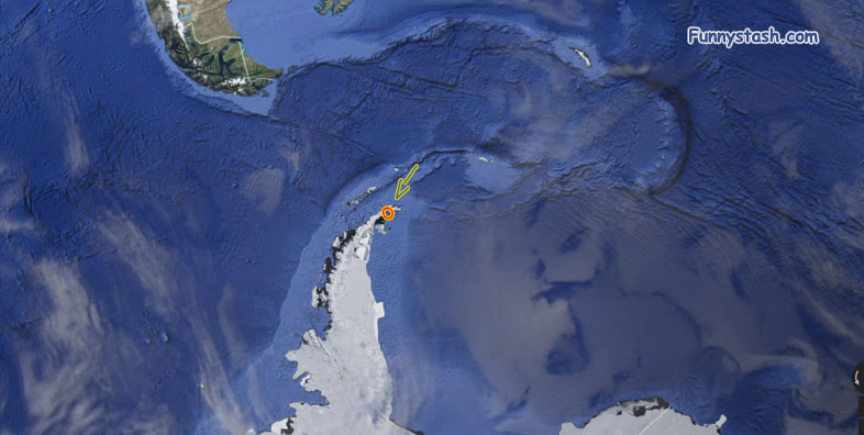
Drones aren't the, be all and end all of photography but they sure do take a pretty photo, this picture is fairly close to Argentina as you can see from the British Falkland islands slightly up north from there
GPS coordinates / -63.428580, -56.650296
GPS coordinates / -63.428580, -56.650382
↑ click image for fullscreen


