7500 bc warfare nomadic Vantage point fought over for thousands of years by many different battling tribes 360-s vr locations
Link Location Gps ← Find Best directions
Gps Coordinates / 37.1865316,-108.5362696
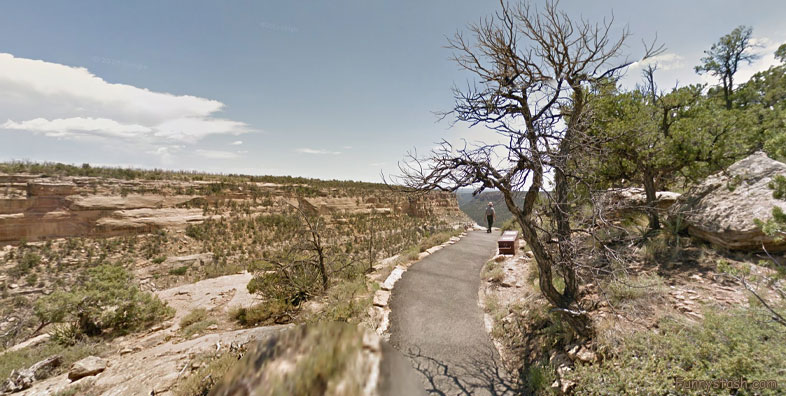
War Palace Mesa Verde Ancient 7500bc Colorado National Park Tourism Areas
5FP7+JF9 Mesa Verde National Park, Colorado, USA
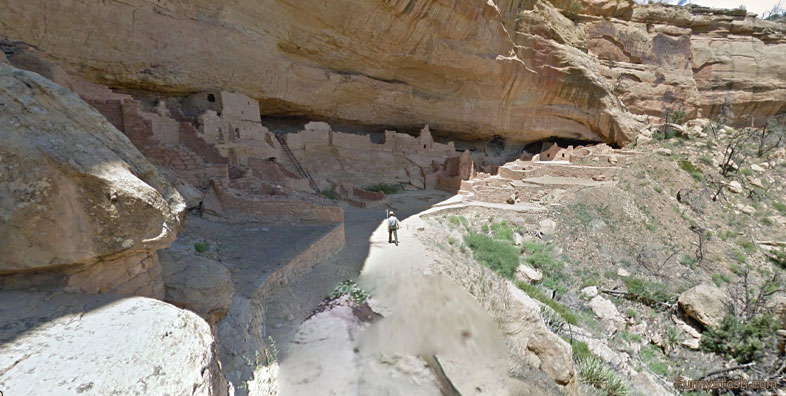
The sites left behind are some of the most notable and best-preserved in the United States. In 1978, Mesa Verde National Park was named a UNESCO World Heritage Site in recognition of its exceptional archaeological relevance. Mesa Verde National Park preserves a spectacular look into the ancient lives of America’s First Peoples.
Link Location Gps -108.5346131
Gps Coordinates / 37.183662,-108.5346131
Starting 7500 BC Mesa Verde was seasonally inhabited by a group of nomadic Paleo-Indians known as the Foothills Mountain Complex
Link Location Gps / Gps Link -108.5360325 / Gps Link -108.5378442 / Gps Link -108.5379702
Gps Coordinates / 37.1868382,-108.5360325 / 37.1857734,-108.5378442 / 37.1872287,-108.5379702
The variety of projectile points found in the region indicates they were influenced by surrounding areas, including the Great Basin, the San Juan Basin, and the Rio Grande Valley. Later, Archaic people established semi-permanent rock shelters in and around the mesa. By 1000 BC, the Basketmaker culture emerged from the local Archaic population, and by 750 AD the Ancestral Puebloans had developed from the Basketmaker culture.
Link Location Gps -108.5356862
Gps Coordinates / 37.1866112,-108.5356862
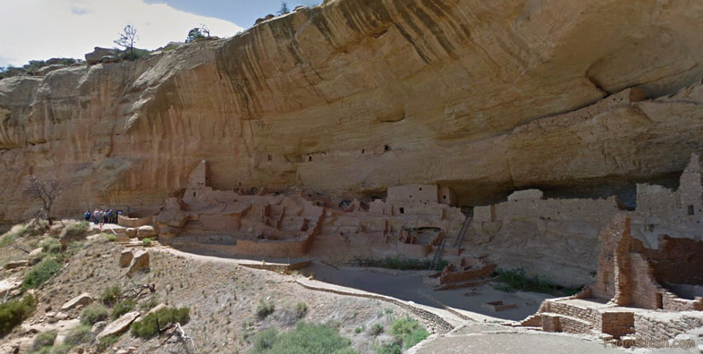
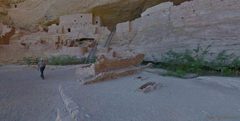
For over 700 years, the Ancestral Pueblo people built thriving communities on the mesas and in the cliffs of Mesa Verde.
Link Location Gps -108.5359195
Gps Coordinates / 37.1867618,-108.5359195
The Mesa Verdeans survived using a combination of hunting, gathering, and subsistence farming of crops such as corn, beans, and squash. They built the mesa's first pueblos sometime after 650, and by the end of the 12th century, they began to construct the massive cliff dwellings for which the park is best known. By 1285, following a period of social and environmental instability driven by a series of severe and prolonged droughts, they abandoned the area and moved south to locations in Arizona and New Mexico, including the Rio Chama, the Albuquerque Basin, the Pajarito Plateau, and the foot of the Sangre de Cristo Mountains.
Link Location Gps -108.5374137
Gps Coordinates / 37.185884,-108.5374137
The first occupants of the Mesa Verde region, which spans from southeastern Utah to northwestern New Mexico, were nomadic Paleo-Indians who arrived in the area c. 9500 BC. They followed herds of big game and camped near rivers and streams, many of which dried up as the glaciers that once covered parts of the San Juan Mountains receded. The earliest Paleo-Indians were the Clovis culture and Folsom tradition, defined largely by how they fashioned projectile points. Although they left evidence of their presence throughout the region, there is little indication that they lived in central Mesa Verde during this time.
Link Location Gps -108.5378984
Gps Coordinates / 37.1860602,-108.5378984
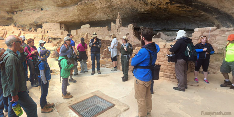
Home to Pueblo Indians, Native Americans who lived there for over 700 years. The 52,000 acre national park contains over 4,000 stunning archaeological treasures including 600 beautifully preserved cliff dwellings dating back almost 1,500 years.


