Come with Funnystash to the Transylvanian Salt Caves in these Panorama 360 Tourism VR Directions
Link Location Gps ← Find Best directions
Gps Coordinates / 46.587741,23.787088
Transylvania Salt Caves Tourism VR Map Links
Parking lot, Turda, Romania
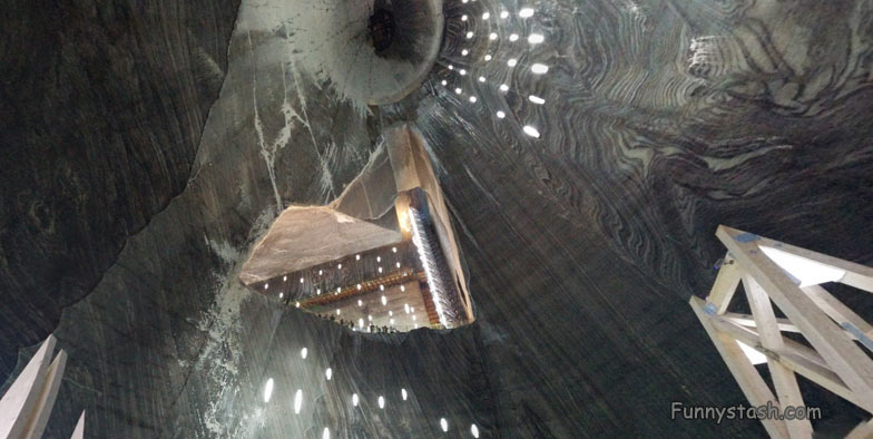
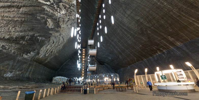
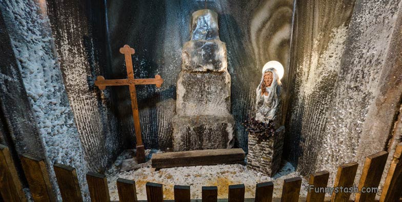
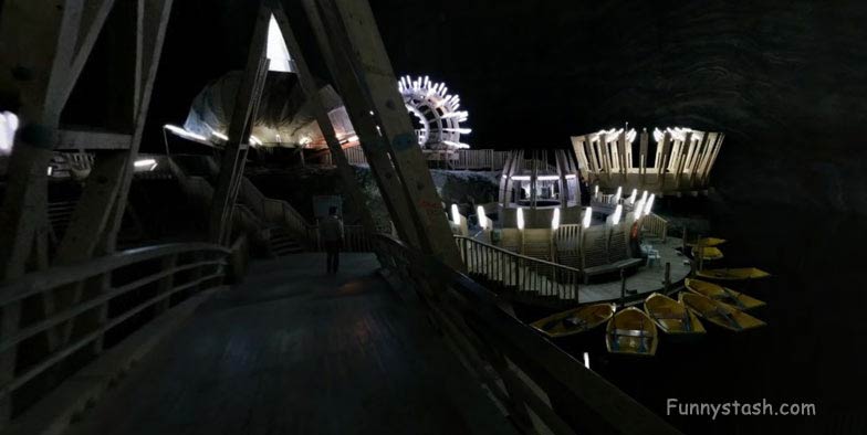
The Turda Salt Mine is now a veritable history museum of salt mining. The excellent state of preservation of mining and machinery used to transport salt, together with the cautious work carried out for preparing the mine to become a tourist attraction, have made history and legend meet harmoniously here. The increasing number of tourists arriving from distant geographical areas to visit the mine are a confirmation of interest and historical value.
People tend to forget there were wars over salt before modern preservatives salt was the only way to preserve and prolong food so salt used to be very valuable for many reasons to many different people, having availability to scarce limited known Salt supplies could mean the rise or destruction of your civilizations. I’m sure Vlad the impaler, Dracula found this supply quite useful for his civilization, kinda hard to mention Transylvania without mentioning Vlad Dracula you can find our Stash of Dracula’s castle click here
GPS Coordinate Directions / 46.5879445,23.7875073
Gps Coordinates / 46.5877767,23.7872482
The quoted document does not mention the the existence of an exploitation in Turda ,but establishment of salt customhouse “on the way of Aries and Mures”can be an argument in favor of the existence of an exploitation in function.As royal city,Turda might have had a role of defense for the neighboring salt mines.During the 13th century there was official mention of the salt mine in Turda .Thus, on 1st may 1271 “the salt mine in Turda”was being offered to the Head of the Catholic Church of Transylvania.
After a time of progress between the end of the 14th century and the middle of 16th Century there came a time of decrease in the mining rhythm in Transylvania.
Gps Coordinates / 46.5877592,23.7872696
Gps Coordinates / 46.589121,23.7877749
To get an accurate record of the condition of the salt exploitation the royalty sent inspectors to the Transylvanian mines.In a report made in the spring of 1552 royal inspectors Paulus Bornemisza and Georgius Wernher made reference to the quality of the salt ,to the method of exploitation as well as to the number and quality of the workers.In the same document the salt mine of Turda is referred to as the most important in Transylvania and the main “salt customhouse”(a form of coordination of the salt exploitation)was in Turda because its administrator (appointed by the King) controlled the other administrators.
Gps Coordinates / 46.589121,23.7877749
Gps Coordinates / 46.586929,23.7872682
Gps Coordinates / 46.589121,23.7877749
Gps Coordinates / 46.5864796,23.7859414
Gps Coordinates / 46.589121,23.7877749
The installing of the Habsburgs at the end of the 17th century and the growing demands of the society contributed to an increase in importance of the mining industry. The salt mines started being administered directly by the Imperial Court.
The effects started to be felt in Turda as elsewhere. The exploitation compartments situated where the Salty Spas are and those on the south-eastern slope of the Salty Valley(Valea Sarata)were gradually abandoned while other areas of exploitation were being looked for and new mines were opened.
Gps Coordinates / 46.5845749,23.7845821


