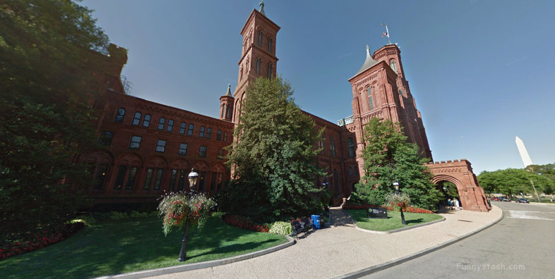
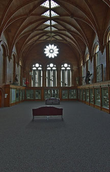
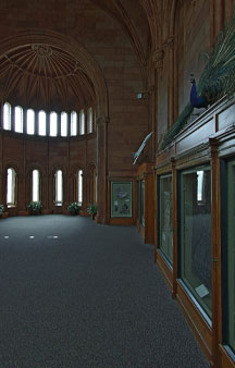
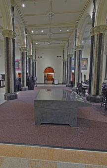
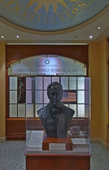
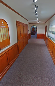
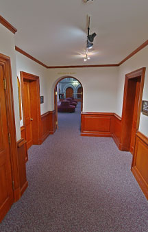
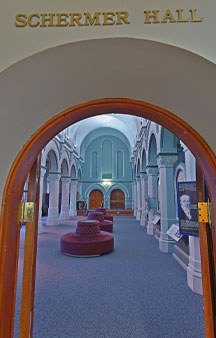
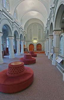
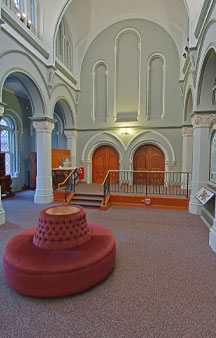
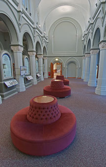
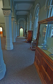
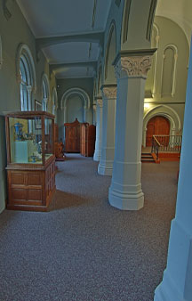
Nicknamed The Castle completed 1855 near National Mall Washington, D.C now a National Historic Landmark in 1965
Link Location Gps ← Find Best directions
Gps Coordinates / 38.8887133,-77.0265886
Smithsothian Museum Castle 2015 VR Museum
1000 Jefferson Dr SW, Washington, DC 20560, United States
A structural collapse in 1850 of partly completed work raised questions of workmanship and resulted in a change to fireproof construction. The Castle's exterior was completed in 1852.
A crypt just inside the north entrance houses the tomb of James Smithson.
Gps Coordinates / 38.8890404,-77.025485
Despite the upgraded fireproof construction, a fire in 1865 caused extensive damage to the upper floor of the building, destroying the correspondence of James Smithson, Henry's papers, two hundred oil paintings of American Indians by John Mix Stanley, the Regent's Room and the lecture hall, and the contents of the public libraries of Alexandria, Virginia and Beaufort, South Carolina, confiscated by Union forces during the American Civil War.
Link Location Gps / Gps Link -77.0266324 / Gps Link -77.0266611 / Gps Link -77.0266581
Gps Coordinates / 38.8887034,-77.0266324 / 38.8887316,-77.0266611 / 38.8887644,-77.0266581
The ensuing renovation was undertaken by local Washington architect Adolf Cluss in 1865–67. Further fireproofing work ensued in 1883, also by Cluss, who by this time had designed the neighboring Arts and Industries Building.
A tunnel connected to the Arts and Industries Building.
Link Location Gps / Gps Link -77.0266551 / Gps Link -77.026652 / Gps Link -77.0266225
Gps Coordinates / 38.8887986,-77.0266551 / 38.8888354,-77.026652 / 38.8888496,-77.0266225
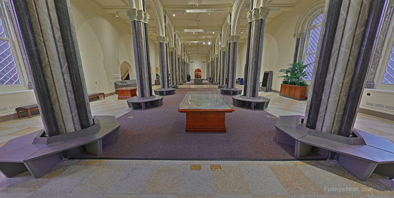
Around 1900, the wooden floor of the Great Hall was replaced with terrazzo and a Children's Museum was installed near the south entrance.
Link Location Gps / Gps Link -77.0265845 / Gps Link -77.0265841 / Gps Link -77.0265801
Gps Coordinates / 38.8888447,-77.0265845 / 38.8888109,-77.0265841 / 38.888778,-77.0265801
A general renovation took place in 1968 - 1970 to install modern electrical systems, elevators and heating, ventilation and air conditioning systems.
Link Location Gps / Gps Link -77.0265866 / Gps Link -77.0259822 / Gps Link -77.0259755
Gps Coordinates / 38.8887556,-77.0265866 / 38.8887654,-77.0259822 / 38.8889044,-77.0259755
Four towers of this "castle" contain occupiable space, while five smaller towers are primarily decorative, although some contain stairs.
Link Location Gps / Gps Link -77.0260243 / Gps Link -77.0259113 / Gps Link -77.0262303
Gps Coordinates / 38.8889063,-77.0260243 / 38.8889028,-77.0259113 / 38.8887716,-77.0262303
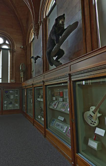
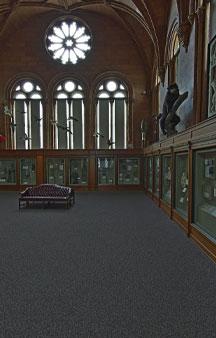
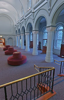
Two galleries on the second floor were used to display artifacts and art. This area is now the Visitor's Information and Associates' Reception area.
Link Location Gps / Gps Link -77.0262737 / Gps Link -77.0263257 / Gps Link -77.0263702
Gps Coordinates / 38.8887711,-77.0262737 / 38.8887666,-77.0263257 / 38.8887698,-77.0263702
The West Wing, known as the chapel, was used as a library. The West Wing and Range are now used as a quiet room for visitors to go.
Link Location Gps / Gps Link -77.026386 / Gps Link -77.0264457 / Gps Link -77.0265067
Gps Coordinates / 38.8887651,-77.026386 / 38.8887669,-77.0264457 / 38.8887509,-77.0265067
James Renwick designed the Castle as the focal point of a picturesque landscape on the Mall, using elements from Georg Moller's Denkmäler der deutschen Baukunst.
Link Location Gps / Gps Link -77.026485 / Gps Link -77.0264256 / Gps Link -77.0263705
Gps Coordinates / 38.8887231,-77.026485 / 38.8887214,-77.0264256 / 38.8887182,-77.0263705
The building is completed in the Gothic Revival style with Romanesque motifs. This style was chosen to evoke the Collegiate Gothic in England and the ideas of knowledge and wisdom.
Link Location Gps / Gps Link -77.0263638 / Gps Link -77.0264122 / Gps Link -77.0264557
Gps Coordinates / 38.8887959,-77.0263638 / 38.8887977,-77.0264122 / 38.8888005,-77.0264557
The building comprises a central section, two extensions or ranges, and two wings. Four towers contain occupiable space, while five smaller towers are primarily decorative, although some contain stairs.
Link Location Gps / Gps Link -77.0265331 / Gps Link -77.0265368 / Gps Link -77.0257899
Gps Coordinates / 38.8888028,-77.0265331 / 38.8887737,-77.0265368 / 38.8887243,-77.0257899
The façade is built with red sandstone from the Seneca quarry in Seneca, Maryland in contrast to the granite, marble and yellow sandstone from the other major buildings in Washington, D.C.
Link Location Gps / Gps Link -77.0258457 / Gps Link -77.0259323
Gps Coordinates / 38.8887014,-77.0258457 / 38.8887037,-77.0259323
Initially intended to be built in white marble, then in yellow sandstone, the architect and building committee finally settled on Seneca red sandstone from the Seneca Quarry in Montgomery County, Maryland.
Electric lighting was installed in 1895 by recently famed Thomas Edison
Gps Coordinates / 38.8887621,-77.0261788
On January 6, 2023, the museum announced its closure for renovation on February 1, 2023, and the launching of the virtual Visitor Center


