Melbourne Night Walk Virtually within these Panorama 360s
Link Location Gps ← Find Best directions
Gps coordinates / -37.819245,144.9651602
Melbourne Night Walk Tourism VR Map Links
Southbank Footbridge, Southbank VIC 3006, Australia
-
VR tour of Melbourne Australia in this night tour with dozens of Panorama 360s to choose from wander the streets of Melbourne at night from the safety of your screen there's many sights to see around Melbourne coast the river ports with the vista of high rise buildings all along the banks or head inland for a late midnight stroll around the streets with dozens of VR pictures to choose from you decide where to go, whether the Pavilions rail stations or river bars you decide.
It is estimated about 20,000 people use the bridge each day and its huge popularity.
Gps Coordinates / -37.819887,144.9648812
Melbourne is a great sight but even greater when it's all lit up at night, so where better to have a tourist view than the port, bridge alleyways that surround Melbourne Victoria and no better than the bars and restraunts that overlook the harbours.
$1.3 million pledge by the City of Melbourne to upgrade and repair bridges throughout the CBD.
Gps Coordinates / -37.8198129,144.9649657
Yarra River along the Southbank promenade. Prof Walker's Southbank legacy has been extended with delivery of additional water-side connections through to Docklands.
All our Panoramas on our site can be downloaded from our 360s sections for your use offline
Gps Coordinates / -37.8183,144.9651387
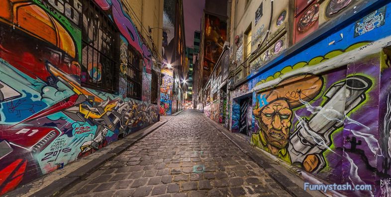
Thinking of Hosier Lane. Located off Flinders Street, this laneway’s like a gallery of evolving street art that's earned it a place in the guidebooks.
Gps Coordinates / -37.8163592,144.9691151
This is a landmark lane for tourists with it's own guideboook some revellers will come to Melbourne and make the night walk of this lane a priority.
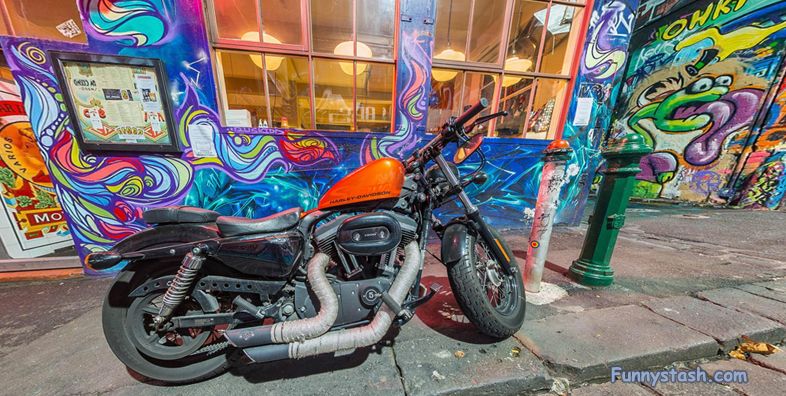
Very pretty looking Harley on the graffiti laden lane of Hosier.
Gps Coordinates / -37.816605,144.9691983
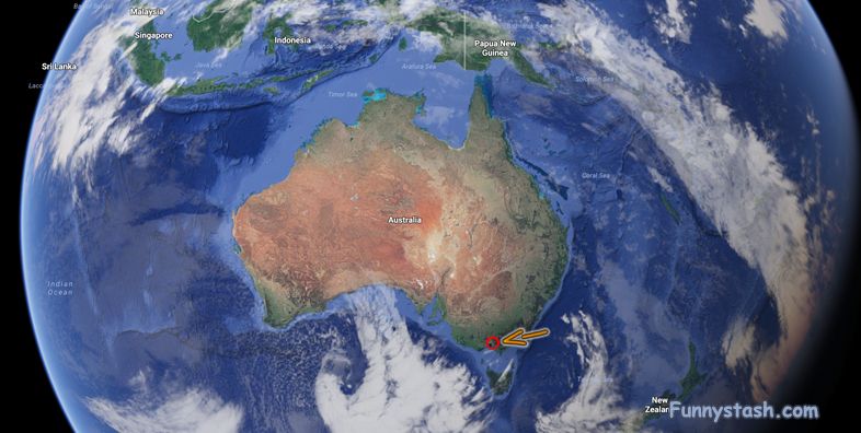
Aerial view from above


