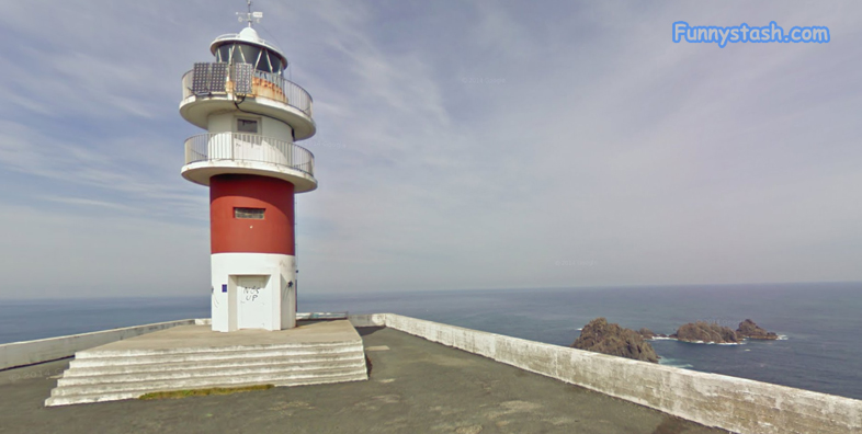
Come with us to peaceful serenity and seclusion in Spain and relax around this beautiful lighthouse in these Tourism Panorama360s Links
Link Location Gps ← Find Best directions
Gps Coordinates / 43.770471,-7.8692884
Lighthouse Cliff Spanish secluded Tourism VR Map Links
Estrada ao Faro de Cabo Ortegal s/n, 15360 Cariño, A Coruña, Spain
It would be difficult not to be inspired when standing here looking out onto the Atlantic Ocean
GPS coordinates / 43.771119, -7.869910
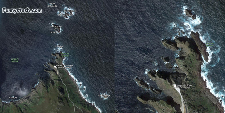
The map of the Northeasterly coast of Spain is quite beautiful with nothing in it’s way from Spain to The Americas across that vast sea of the Atlantic Ocean
In Os Aguillós Point, is the true starting point where the Atlantic Ocean and the Cantabrian Sea join, and it is the occidental limit of the Vizcaya Gulf. There was built in 1983 the lighthouse, rising on the top of the rock up to 100m high, from where it challenges sea's ferocity and its windy coast. It serves as a watching point of the Aguillós stones, named by romans as Trileucum or Lapatiancorum Promontorium, emerging stepped to the North. Here are taken the best barnacles (percebes) of Galicia, beaten always by the sea, and taken by the percebeiros.
Ortegal Cape is a very mountainous peninsula located 3 km far away towards North of Cariño, and it has two points: Os Aguillós Point, where is the lighthouse, and O Limo Point. In the surroundings we can see a succession of 300 m high cliffs.
Official Website


