Come with Funnystash to this 9th Century Fort in these Tourism Panoramas
Link Location Gps ← Find Best directions
Gps Coordinates / 28.7670073,71.335023
Derawar Fort Pakistan
Derawar Fort, Derawar Fort Rd, Derawar, Bahawalpur, Punjab, Pakistan
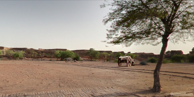
In the desert of Cholistan, the soldiers are long gone, but one of the most remarkable forts of the medieval world still exists as private property, owned by the royal Abassi family who also keep a necropolis for their family on the property.
Gps directions / 28.7677146,71.3359361
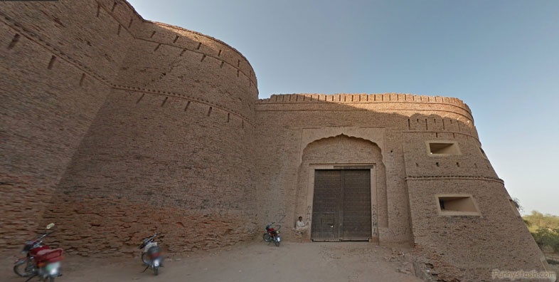
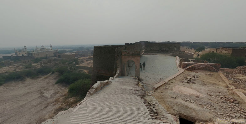
Derawar Fort (Urdu: قِلعہ دراوڑ), is a large square fortress in Ahmadpur East Tehsil, Punjab, Pakistan. Approximately 130 km south of the city of Bahawalpur, the forty bastions of Derawar are visible for many miles in the Cholistan Desert. The walls have a perimeter of 1500 metres and stand up to thirty metres high.
Gps Coordinates / 28.767698,71.3353282
Derawar fort was first built in the 9th century AD by Rai Jajja Bhati, a Hindu Rajput ruler of the Bhati clan, as a tribute to Rawal Deoraj Bhati the king of Jaisalmer and Bahawalpur. The fort was initially known as Dera Rawal, and later referred to as Dera Rawar, which with the passage of time came to be pronounced Derawar, its present name.
Gps Coordinates / 28.7678942,71.3353362
In the 18th century, the fort was taken over by Muslim Nawabs of Bahawalpur from the Shahotra tribe. It was later rebuilt in its current form in 1732 by the Abbasi ruler Nawab Sadeq Muhammad, but in 1747 the fort slipped from their hands owing to Bahawal Khan's preoccupations at Shikarpur. Nawab Mubarak Khan took the stronghold back in 1804. 1,000 year-old catapult shells were found in the debris near a decaying wall in the fort.
Gps Coordinates / 28.768061,71.3349101
Nawab Sadeq Muhammad Khan Abbasi V, the 12th and last ruler of Bahawalpur state, was born in the fort in 1904.
Gps Coordinates / 28.7683079,71.3354095
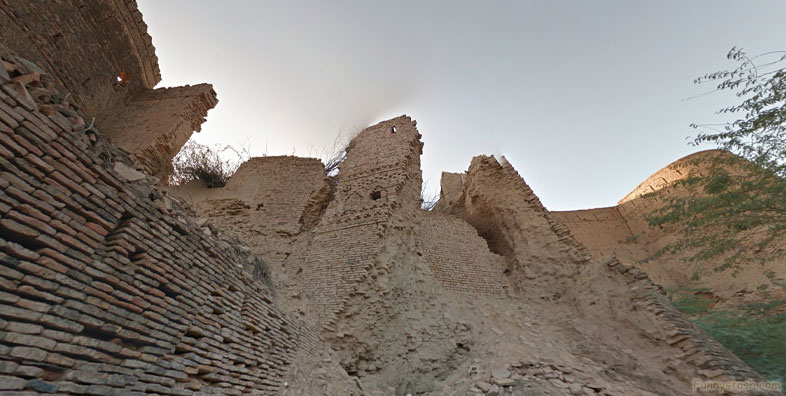
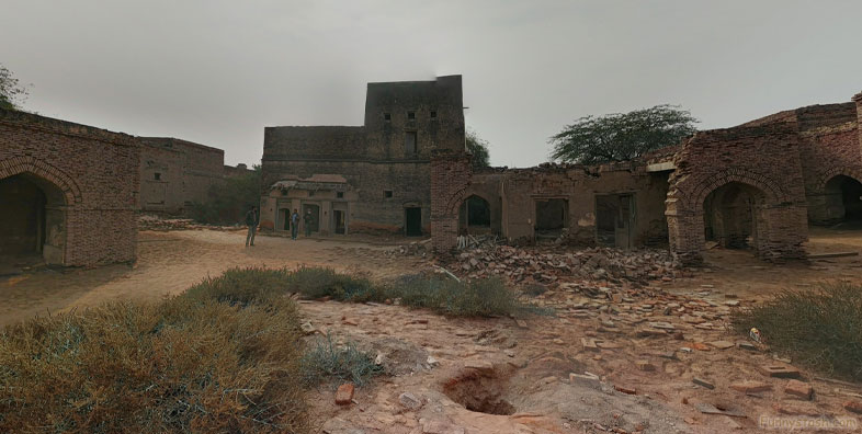
This historically significant fort presents an enormous and impressive structure in the heart of the Cholistan desert, but it is rapidly deteriorating and in need of immediate preventive measures for preservation.
Gps Coordinates / 28.7691284,71.3351883
Derawar Fort is more than 1 kilometer in circumference and 30 meters high, featuring 40 stunning bastions rising out of the vast expanse of empty desert. Its ramparts are wide and smooth, creating an imposing structure unlikely to be breached by advancing forces and, more useful for modern times, an unique appearance more compelling than typical straight-walled castles.
Gps Coordinates / 28.767389,71.3366897
Gps Coordinates / 28.7687926,71.3351382
It’s very difficult to reach Derawar Fort in its remote location, and typically one needs to hire a special guide to take them on the full-day journey to the site of the fort. That said, pretty much anyone can go look at it, but to go inside, one needs special permission from the Amir of Bahawalpur, so visitors need to plan ahead to get the full experience.
Gps Coordinates / 28.7683123,71.3336652
{youtube}https://www.youtube.com/watch?v=kq62guYWURk{/youtube}
Aerial View of The Derawar Fort Pakistan
Aerial View Derawar Fort Pakistan


