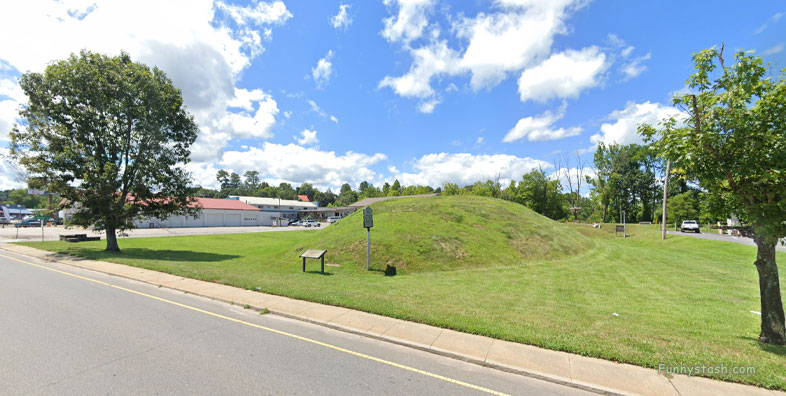
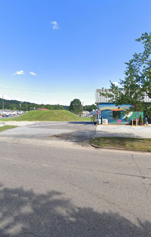
Nikwasi Cherokee word for "star" the site of the 18th Century Cherokee town, origins of Nikwasi Mound was 1000CE
Link Location Gps ← Find Best directions
Gps Coordinates / 35.1848515,-83.3731782
Cherokee Town 1000 AD Nikwasi Mound-Century VR America
524 E Main St, Franklin, NC 28734, United States
The town covered about 100 acres on the floodplain of the Little Tennessee River. Franklin, North Carolina, was later developed by European Americans around this site.
It was listed on the National Register of Historic Places in 1980 as "Nequasee."
Gps Coordinates / 35.1846351,-83.3733709
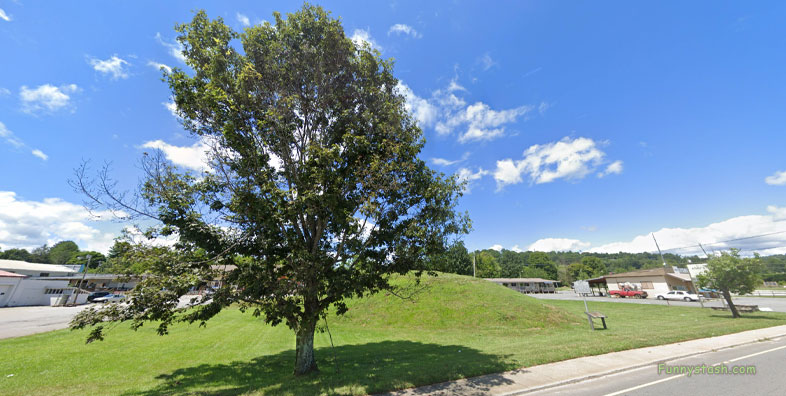
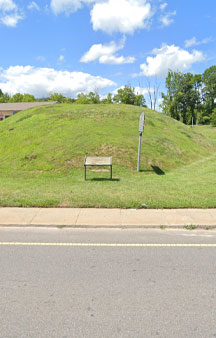
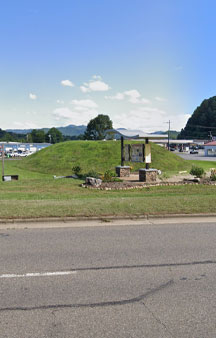
Today, a platform mound, estimated to have been built about 1000 CE, is the only extant feature left of the Cherokee town. The mound site and a small area has been owned and preserved by Franklin since 1946.
Link Location Gps / Gps Link -83.37325 / Gps Link -83.3739177 / Gps Link -83.3740094 / Gps Link -83.3742837
Gps Coordinates / 35.1847851,-83.37325 / 35.1854922,-83.3739177 / 35.1854426,-83.3740094 / 35.1853009,-83.3742837
The town (also known spelled as Nucassee) was founded sometime before the mid-1500s, as it appears on a 1566 map. It is first mentioned in 1718 in the records of the British colonies in America.
The town was a spiritual, cultural, and ceremonial center for the local Cherokee people, who considered it one of the "Mother Towns of their homeland."
Gps Coordinates / 35.1847129,-83.3733147
The Cherokee people kept the ever-burning sacred fire of Nikwasi located in the fire pit of their townhouse constructed on top of the mound. The fire had been kept burning since the beginning of their culture, and every townhouse had a fire pit for it.
-
The Francis Varnod census, enumerated in 1721 as part of a survey of Cherokee towns for the Anglican Society for Propagation of the Gospel (SPG), found the native population of Nikwasi to be 162, 53 men, 50 women, and 59 children.


