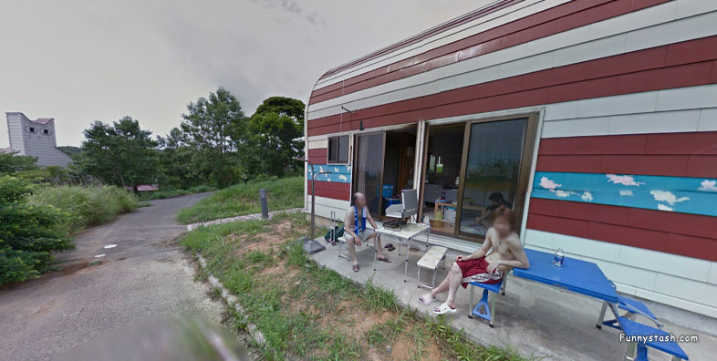
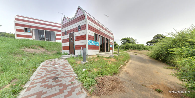
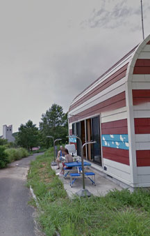
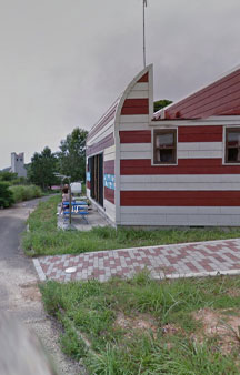
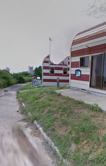
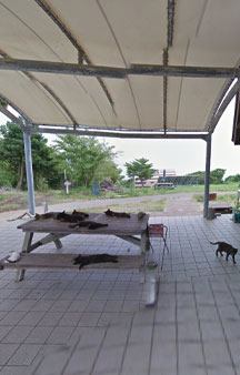
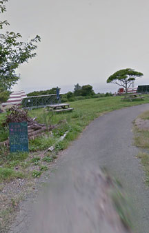
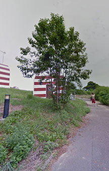
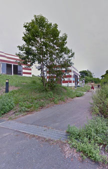
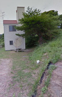
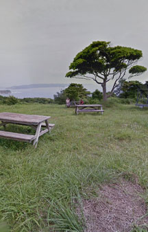
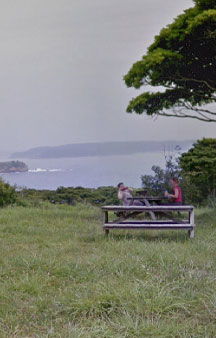
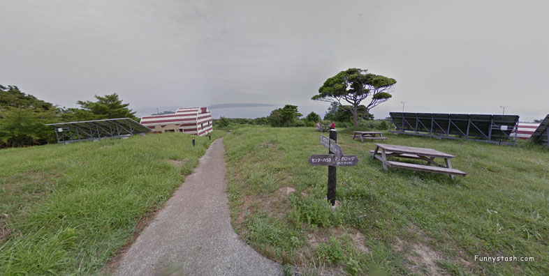
Cat Island on Tashirojima Island has it's own family friendly manga themed camping resort on the southern tip of the island
Link Location Gps ← Find Best directions
Gps Coordinates / 38.290156,141.421775
Cat Island Shikishima Camper Land Tashirojima 2015 VR Japan
Shikishima Tashirohama, Ishinomaki, Miyagi 986-0023, Japan
Tashirojima is home to Manga Island camping ground, made by the famous mangaka Shotaro Ishinomori who created Cyborg 009, Super Sentai Series (which the Power Rangers was adapted from), with Kamen Rider series. He also worked on Astro Boy. This area truly does have some manga lore historic creators, the audience for manga is truly tremendous in size and scope. Many people don't realize Pokemon was larger than Starwars.
Gps Coordinates / 38.290139,141.421683
As the time of writing this there are very few facillities on the island camping grounds, there's a drink vending machine and a public toilet located along the Nitoda waterfront at the Fisheries Development Center. Tashirojima does not have many tourist facilities.
Link Location Gps / Gps Link 38.290231 / Gps Link 38.290203 / Gps Link 38.290297
Gps Coordinates / 38.290231,141.421872 / 38.290203,141.421747 / 38.290297,141.421728
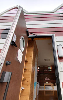
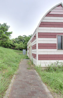
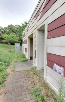
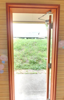
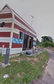
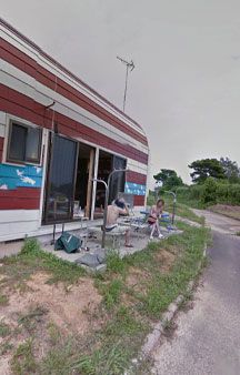
The quaint and lovable Cat Island Tashirojima is home to a public campground featuring adorable cat-shaped cabins.
Link Location Gps / Gps Link 38.290286 / Gps Link 38.290561 / Gps Link 38.290306
Gps Coordinates / 38.290286,141.421703 / 38.290561,141.422225 / 38.290306,141.421614
There are a small number of Minshuku's (culture B&B's) around Nitoda Port, however there are no restaurants, and very few shops or public toilets available on the island.
Link Location Gps / Gps Link 38.290300 / Gps Link 38.290297 / Gps Link 38.290164
Gps Coordinates / 38.290300,141.421675 / 38.290297,141.421686 / 38.290164,141.421692
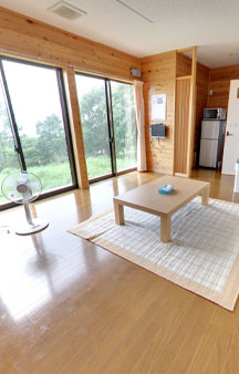
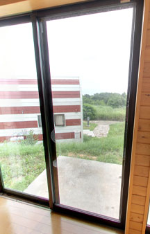
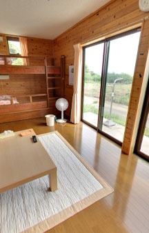
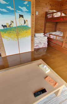
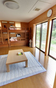
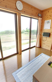
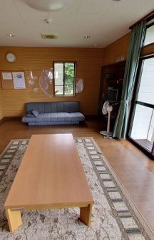
Dubbed Manga Island, the campground is operated by the City of Ishinomaki as affordable lodging for visitors to the island in summer and autumn, with the interiors of the cabins decorated with cat-themed art drawn by famous manga artists.
Link Location Gps / Gps Link 38.290186 / Gps Link 38.290194 / Gps Link 38.290189
Gps Coordinates / 38.290186,141.421703 / 38.290194,141.421736 / 38.290189,141.421744
The inside of the cabins are dedicated with cat drawings by artists like Tetsuya Chiba who is best known for Ashita no Joe.
Link Location Gps / Gps Link 38.290183 / Gps Link 38.290186 / Gps Link 38.290214
Gps Coordinates / 38.290183,141.421767 / 38.290186,141.421833 / 38.290214,141.421836
Alternatively, you can stay overnight at one of the minshuku, guesthouse-style accommodations, back near the port.
Link Location Gps / Gps Link 38.290225 / Gps Link 38.290231 / Gps Link 38.290247
Gps Coordinates / 38.290225,141.421858 / 38.290231,141.421872 / 38.290247,141.421906
Nitoda is also close to the Manga Island campsite and its nearby beaches. As cute as the cats may be, these are semi-feral strays with claws, take care when letting kids approach them, and be prepared to clean and bandage any scratches.
Link Location Gps / Gps Link 38.290264 / Gps Link 38.290519 / Gps Link 38.290558
Gps Coordinates / 38.290264,141.421903 / 38.290519,141.422122 / 38.290558,141.422156
The resort consists of several cottages shaped like cats that feature cat themed artwork drawn by famous manga artists such as Ishinomori Shotaro, Chiba Tetsuya and Kimura Naomi.
Link Location Gps / Gps Link 38.290586 / Gps Link 38.290578 / Gps Link 38.290589
Gps Coordinates / 38.290586,141.422181 / 38.290578,141.422197 / 38.290589,141.422250
Reservations should be made at least two weeks in advance. Visitors should plan to walk everywhere, two hours is enough time to make some furry acquaintances.
Link Location Gps / Gps Link 38.290597 / Gps Link 38.290561 / Gps Link 38.290547
Gps Coordinates / 38.290597,141.422233 / 38.290561,141.422225 / 38.290547,141.422211
If you see a bus, it is likely to be the Catbus from Neighbor Totoro which may have a stop on Tashirojima. Everything will be inevitably run by locals if one were to inquire about the quaintness of many themed vehicles
Link Location Gps / Gps Link 38.290150 / Gps Link 38.290150 / Gps Link 38.290153
Gps Coordinates / 38.290150,141.421667 / 38.290150,141.421703 / 38.290153,141.421739
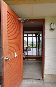
Rent cat shaped cottages (sleeping 6-8) and campsites. Sensibly enough, dogs are prohibited. Mice would be extremely well-advised to stay away.
Link Location Gps / Gps Link 38.290161 / Gps Link 38.290172 / Gps Link 38.290186
Gps Coordinates / 38.290161,141.421814 / 38.290172,141.421847 / 38.290186,141.421881
Overnight stays are possible from Wednesday through Sunday, except in July and August when it is impossible to access no matter your inquiry of your love for felines on those months they appear to reject the presence of tourists on those dates.
Link Location Gps / Gps Link 38.290200 / Gps Link 38.290217 / Gps Link 38.291111
Gps Coordinates / 38.290200,141.421911 / 38.290217,141.421942 / 38.291111,141.421761;
During the 2011 earthquake, Tashirojima was flooded and several buildings got destroyed. According to a local, due to the earthquake, the island sank an inch closer to sea level. But all damage was quickly cleaned up and Manga Island reopened for visitors.
Link Location Gps / Gps Link 38.290856 / Gps Link 38.290819 / Gps Link 38.290836
Gps Coordinates / 38.290856,141.421886 / 38.290819,141.421828 / 38.290836,141.421814
GETTING THERE
Boats to Tashirojima depart from the Ajishima Line Chuo ferry pier up the river, just south of the Ishinomaki Genki Market, across the water from the Ishinomori Manga Museum.
Link Location Gps / Gps Link 38.290856 / Gps Link 38.290808 / Gps Link 38.290156
Gps Coordinates / 38.290856,141.421794 / 38.290808,141.421919 / 38.290156,141.421553
The pier can be reached from Ishinomaki Station in a 10-15 minute walk or short taxi ride (around 700 yen one way).
Link Location Gps / Gps Link 38.290128 / Gps Link 38.289939 / Gps Link 38.290544
Gps Coordinates / 38.290128,141.421544 / 38.289939,141.421486 / 38.290544,141.421772
The ferries then stop at one more pier a kilometer further downriver before they start their journey across the sea.
Link Location Gps / Gps Link 38.290525 / Gps Link 38.290572
Gps Coordinates / 38.290525,141.421750 / 38.290572,141.421978
Most ferries are bound for Ajishima Island, stopping off at Tashirojima Island along the way where they serve Odomari and Nitoda ports.
Gps Coordinates / 38.290589,141.421811
The one way ferry ride takes about 45-60 minutes and costs 1250 yen to either port. There are 3-4 round trips per day.
Japan-guide.com/e/e5031.html
Have their own Brochure
Visitmiyagi.com/contents/manga-island


