Planet Earth At Night Nasa imagery in these Panorama 360s
Link Location Gps ← Find Best directions
Planet Earth At Night Space VR Panoramas
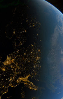
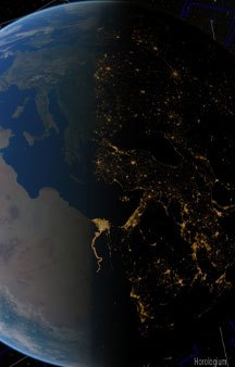
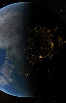
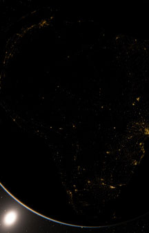
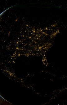
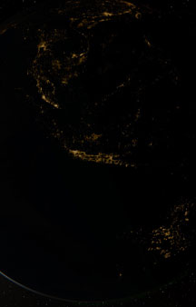
Really awesome representation of where to see the Planet Earth in VR at night-time from space taken from real Nasa imagery on board the international space station and stitched together in this Panorama 360 showing what the earth looks like at night all around the globe at the same time with light pollution.
-
Our earth rotates once every 23 hours, 56 minutes and 4.09053 seconds, called the sidereal period, and its circumference is roughly 40,075 kilometers. Thus, the surface of the earth at the equator moves at a speed of 460 meters per second, or roughly 1,000 miles per hour.
The clouds are visible making the lights appear dimmer than they would appear if there were no clouds
Link Location Gps / Gps Link 53°25'20.22 / Gps Link 35°37'32.77" / Gps Link 34°26'05.91"
Gps Coordinates / 53°25'20.22"/5°47'10.38" / 35°37'32.77"/28°37'54.64" / 34°26'05.91"/-96°18'28.36"
It's really fascinating to witness Planet Earthean countries from night-time to see their representation footprint of light pollution, Europe and the Eastern Americas just burst to life at night time it really does show you where in the world is populated with life as where humans will be, the lights also show and indicate to you unexplored areas of earth where there's little to no human life or just 3rd world on their quest for energy, India is bursting to life towards Tibet and Tokyo just looks insane. The amount of power that the city uses is crazy they're so addicted to electronics it's insane, they've also recently committed to be 90% renewable energy efficient with all their energy coming from renewables over the next two decades after their recent bad luck their using a reliant source of fossil fuels for a temporary basis, it’s a really enjoyable experience viewing the Planet Earth from space at night time,
-
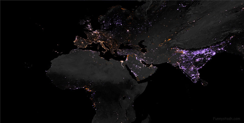
Lighting intensity from 2012 to 2016
Each pixel represents 500 meters (1640 feet), or approximately six city blocks. Dark purple represents areas with new light since 2012, while dark orange represents areas where light existed in 2012 but no longer exists in 2016.
https://svs.gsfc.nasa.gov/30919
shows the change in lighting intensity from 2012 to 2016. The map was created using two separate night lights datasets (from 2012 and 2016) derived using data from the Visible Infrared Imaging Radiometer Suite (VIIRS) on the National Oceanic and Atmospheric Administration (NOAA)-NASA Suomi National Polar-orbiting Partnership (NPP) satellite.
-
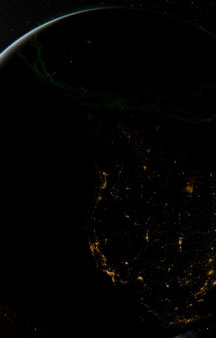
Over The Americas continent within the Canadian tundra you can see the plasma from the our nearest star hit glow below.
Link Location Gps / Gps Link 160°30'43.78" / Gps Link -15°45'31.85" / Gps Link 30°47'35.96"
Gps Coordinates / 160°30'43.78"/-43°22'36.84" / -15°45'31.85"/-59°34'01.40" / 30°47'35.96"/-87°38'07.94"
Galaxies in our neighborhood are also rushing at a speed of nearly 1,000 kilometers per second towards a structure called the Great Attractor, a region of space roughly 150 million light-years (one light year is about six trillion miles) away from us.
Population Density at Night, including estimates to 2015
Population Density at Night, including estimates to 2015 - https://svs.gsfc.nasa.gov/30214
Combines the Earth’s Gridded Population of the World, version 3 (GPWv3) data from 2000 with Defense Meteorological Satellite Program (DMSP) night-lights data to show the distribution of human population across the globe, including estimates to 2015.
The blue-to-yellow color scale was desaturated proportional to the amount of night-lights (i.e., the color was made whiter where there were more lights).
Link Location Gps / Gps Link 49°30'17.57 / Gps Link -6°10'49.55" / Gps Link 21°42'52.23"
Gps Coordinates / 49°30'17.57/-120°02'50.77" / -6°10'49.55"/109°31'42.29" / 21°42'52.23"/82°24'39.88"


