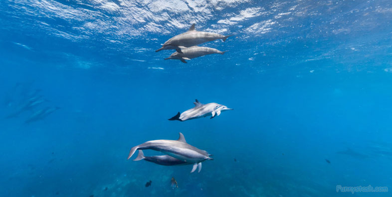
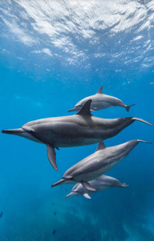
Dolphin swimming with exploration at Fernando de Noronha Marine National Park 360-s vr locations
Link Location Gps ← Find Best directions
Gps Coordinates / -3.8262207,-32.3958848
Dolphin Swimming Canal Ginete Ocean gps 360
Ilha Sela Gineta, Fernando de Noronha - State of Pernambuco, 53990-000, Brazil
Gps Coordinates / -3.8263043,-32.3960196
Beautiful View of Sela Gineta Island Ilha Sela Gineta in Fernando de Noronha Brazil, in the State of Pernambuco Brazil
Gps Link Coordinates / Link Gps -32.39604 / Link Gps -32.3961606 / Link Gps -32.396296
Gps Coordinates / -3.826136,-32.39604 / -3.8260498,-32.3961606 / -3.8259226,-32.396296
This diving point is located at the back of Sela Gineta Island, with very clear and shallow waters. The dive can present moderate current due to its location. Possible sighting of many schooling fishes and other animals, due to the channel that forms between this Island and the Middle Island.
Link Gps Coordinates / Link Gps -32.3964242 / Link Gps -32.3965459 / Link Gps -32.3966876
Gps Coordinates / -3.8257924,-32.3964242 / -3.8256819,-32.3965459 / -3.8255552,-32.3966876
While entry to other islands of the archipelago is prohibited, boat tours are allowed up to a certain distance, offering breathtaking views of untouched volcanic islands such as Ilha do Rata, Ilha do Meio, Ilha Sela Gineta and Ilha Rasa and the 2 very similar islands of Dos Irmaos (Two Brothers)
Ilha Sella Gineta is an Island and is located in the state of Pernambuco, Brazil and the Time Zone is America/Noronha. Ilha Sela Gineta Latitude is -3.8166700 and the Longitude is -32.4000000 for accurate mapping of this location on your map
Link Gps Coordinates / Link Gps -32.3968378 / Link Gps -32.3969548 / Link Gps -32.3970436
Gps Coordinates / -3.8254266,-32.3968378 / -3.8253218,-32.3969548 / -3.8251438,-32.3970436
Boats are not allowed into the Baia dos Golfinhos, but tour operators are allowed to take boats to the edge of the bay. These tours, usually operated in the afternoon, provide an almost guaranteed opportunity to see the famous Spinner dolphins of this region.
Gps Coordinates / -3.8224381,-32.3950594


