Visit one of the worst hurricanes to hit Mexico beach since 1992 leaving devastation 360-s vr locations
Link Location Gps ← Find Best directions
Gps Coordinates / 29.9508537,-85.4241764
Hurricane Michael 2018 Mexico Beach Florida News Locations
Hurricane Michael 2018 Mexico Beach Florida News
107A S 38th St, Mexico Beach, FL 32456, USA
Hurricane Michael was a very powerful and destructive tropical cyclone that became the first Category 5 hurricane to strike the contiguous United States since Andrew in 1992. In addition, it was the third-most intense Atlantic hurricane to make landfall in the contiguous United States in terms of pressure, behind the 1935 Labor Day hurricane and Hurricane Camille in 1969. It was the first Category 5 hurricane on record to impact the Florida Panhandle, the fourth-strongest landfalling hurricane in the contiguous United States, in terms of wind speed, and the most intense hurricane on record to strike the United States in the month of October.
Gps Link Gps Location / Link Gps -85.4061237 / Link Gps -85.4093616 / Link Gps -85.4114182
Gps Coordinates / 29.9392914,-85.4061237 / 29.9414151,-85.4093616 / 29.9427171,-85.4114182
The thirteenth named storm, seventh hurricane, and second major hurricane of the 2018 Atlantic hurricane season, Michael originated from a broad low-pressure area that formed in the southwestern Caribbean Sea on October 1. The disturbance became a tropical depression on October 7, after nearly a week of slow development. By the next day, Michael had intensified into a hurricane near the western tip of Cuba, as it moved northward. The hurricane rapidly intensified in the Gulf of Mexico, reaching major hurricane status on October 9.
Gps Link Gps Location / Link Gps -85.4170334 / Link Gps -85.4171738 / Link Gps -85.4176814
Gps Coordinates / 29.9461057,-85.4170334 / 29.9459282,-85.4171738 / 29.9459813,-85.4176814
As it approached the Florida Panhandle, Michael reached Category 5 status with peak winds of 160 mph just before making landfall near Mexico Beach, Florida, on October 10, becoming the first to do so in the region as a Category 5 hurricane, and as the strongest storm of the season.
Gps Link Gps Location / Link Gps -85.4225783 / Link Gps -85.4232347 / Link Gps -85.4246382
Gps Coordinates / 29.9482178,-85.4225783 / 29.9512147,-85.4232347 / 29.9502585,-85.4246382
{youtube}https://www.youtube.com/watch?v=7W9LRCZMZfQ{/youtube}
As it moved inland, the storm weakened and began to take a northeastward trajectory toward the Chesapeake Bay, downgrading to a tropical storm over Georgia, and transitioning into an extratropical cyclone over southern Virginia late on October 11. Michael subsequently strengthened into a powerful extratropical cyclone and eventually impacted the Iberian Peninsula, before dissipating on October 16.
Gps Link Gps Location / Link Gps -85.4244282 / Link Gps -85.4238503 / Link Gps -85.4240823
Gps Coordinates / 29.9505246,-85.4244282 / 29.9512684,-85.4238503 / 29.9517444,-85.4240823
At least 74 deaths were attributed to the storm, including 59 in the United States and 15 in Central America.
Gps Link Gps Location / Link Gps -85.4249366 / Link Gps -85.4245254 / Link Gps -85.4264685
Gps Coordinates / 29.951269,-85.4249366 / 29.9518108,-85.4245254 / 29.9504982,-85.4264685
Michael caused an estimated $25.1 billion (2018 USD) in damages, including $100 million in economic losses in Central America, damage to U.S. fighter jets with a replacement cost of approximately $6 billion at Tyndall Air Force Base, and at least $6.23 billion in insurance claims in the U.S.
Gps Link Gps Location / Link Gps -85.4261487 / Link Gps -85.4257903 / Link Gps -85.4255377
Gps Coordinates / 29.9508934,-85.4261487 / 29.9513709,-85.4257903 / 29.9517087,-85.4255377
Losses to agriculture alone exceeded $3.87 billion. As a tropical disturbance, the system caused extensive flooding in Central America in concert with a second disturbance over the eastern Pacific Ocean.
Gps Link Gps Location / Link Gps -85.4253463 / Link Gps -85.4259925 / Link Gps -85.4261855
Gps Coordinates / 29.9519502,-85.4253463 / 29.9528431,-85.4259925 / 29.9529558,-85.4261855
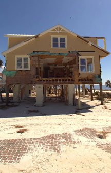
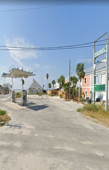
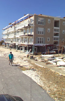
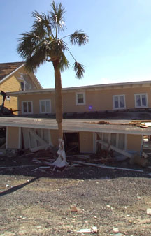
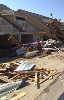
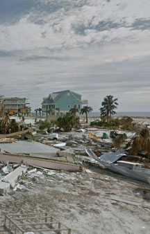
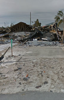
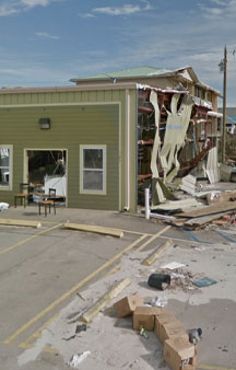
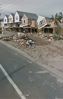
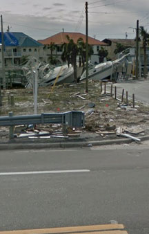
In Cuba, the hurricane's winds left over 200,000 people without power as the storm passed to the island's west. Along the Florida panhandle, the cities of Mexico Beach and Panama City suffered the worst of Michael, with catastrophic damage reported due to the extreme winds and storm surge.
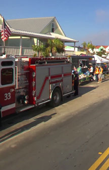
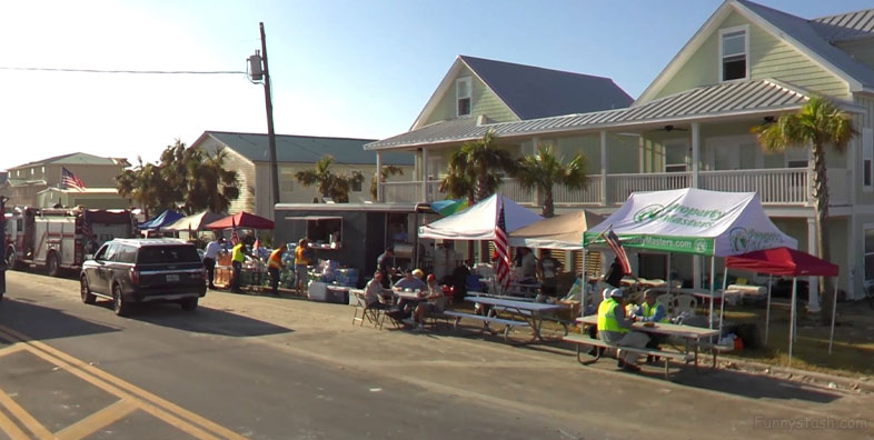
Google Street view passing below and above on Nov 2018 on streetview use Gps our gps on the Map Search and change the date to see if it ever changes remind to stash an update by regsitering on our Funnystash, user able to update dates themselves, so register and join our community
Gps Link Gps Location / Link Gps -85.4269242 / Link Gps -85.4273983 / Link Gps -85.4253075
Gps Coordinates / 29.9533778,-85.4269242 / 29.9536554,-85.4273983 / 29.9524374,-85.4253075
Numerous homes were flattened and trees felled over a wide swath of the panhandle. A maximum wind gust of 139 mph (224 km/h) was measured at Tyndall Air Force Base before the sensors failed. As Michael tracked across the Southeastern United States, strong winds caused extensive power outages across the region.
Gps Coordinates / 29.9526639,-85.4256883
Mandatory evacuation orders were issued on October 9 along Florida's Panhandle, including areas of Panama City, as Hurricane Michael edged northwards toward the coast.
{youtube}https://www.youtube.com/watch?v=P8Q5BUzdn4I{/youtube}


