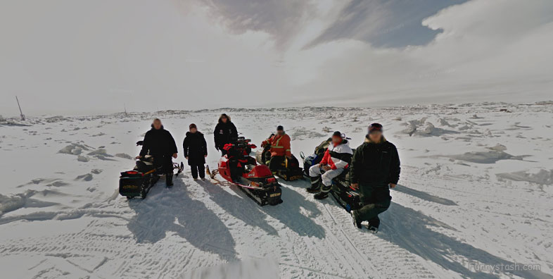
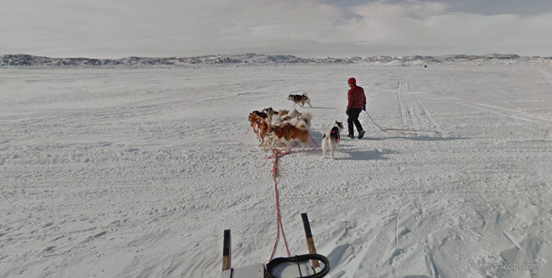
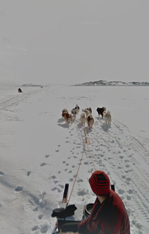
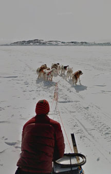
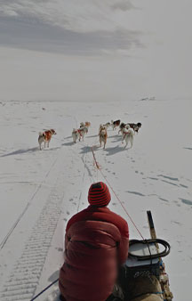
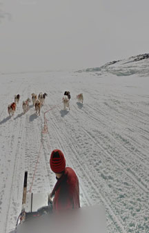
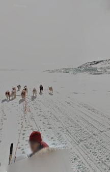
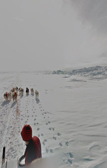
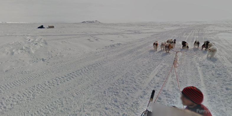
Dog sledding smallest canadian capital in the tundra closer to Greenland than major cities 360-s vr locations
Link Location Gps ← Find Best directions
Gps Coordinates / 63.7299541,-68.5150925
Dog sled across Iqaluit Bay Canada Map Locations
Qikiqtaaluk Region, Nunavut, Canada
Hundreds of mostly non-Inuit construction workers, military personnel, and administrative staff moved into the community, and several hundred Inuit followed, to take advantage of the access to jobs and medical care provided by the base operations. By 1957, 489 of the town's 1,200 residents were reported to be Inuit. After 1959, the Canadian government established permanent services at Frobisher Bay, including full-time doctors, a school, and social services. The Inuit population grew rapidly in response, as the government encouraged Inuit to settle permanently in communities supported by government services.
Gps Coordinates / 63.7420257,-68.5103743
Iqaluit is the smallest Canadian capital in terms of population, and the only capital that is not connected to other settlements by a highway.
Gps Coordinates / 63.7357971,-68.5151344
In 1999, Iqaluit was designated the capital of Nunavut after the division of the Northwest Territories into two separate territories. Before this event, Iqaluit was a small city and not well known outside the Canadian Arctic or Canada, with population and economic growth highly limited.
Gps Link Gps Location / Link Gps -68.515493 / Link Gps -68.515445 / Link Gps -68.515159
Gps coordinates / 63.7347927,-68.515493 / 63.7339382,-68.515445 / 63.7322228,-68.515159
This is due to the city's isolation and heavy dependence on expensive imported supplies, as the city, like the rest of Nunavut, has no road or rail, and only has ship connections for part of the year to the rest of Canada. The city has a polar climate, influenced by the cold deep waters of the Labrador Current just off Baffin Island—this makes the city of Iqaluit cold, although it is well south of the Arctic Circle.
Gps Link Gps Location / Link Gps -68.5150897 / Link Gps -68.5150925 / Link Gps -68.5150953
Gps coordinates / 63.7312501,-68.5150897 / 63.7299541,-68.5150925 / 63.7293849,-68.5150953
As of the 2016 census, the population was 7,740 (population centre: 7,082, an increase of 15.5 percent from the 2011 census. Iqaluit has the lowest population of any capital city in Canada. Inhabitants of Iqaluit are called Iqalummiut
Gps Link Gps Location / Link Gps -68.5150872 / Link Gps -68.5149665 / Link Gps -68.5145072
Gps coordinates / 63.728031,-68.5150872 / 63.7260155,-68.5149665 / 63.7236947,-68.5145072
Iqaluit has been a traditional fishing location used by Inuit for thousands of years. The name, Iqaluit, comes from Inuktitut Iqaluit which means place of many fish.
Gps Link Gps Location / Link Gps -68.5145063 / Link Gps -68.5145755 / Link Gps -68.5141905
Gps coordinates / 63.7234398,-68.5145063 / 63.7228413,-68.5145755 / 63.7219583,-68.5141905
World War II resulted in an influx of non-Inuit to the area in 1942, when the United States built Frobisher Bay Air Base there, on a long-term lease from the Government of Canada, in order to provide a stop-over and refuelling site for the short-range aircraft being ferried to Europe to support the war effort.
Gps Link Gps Location / Link Gps -68.5144716 / Link Gps -68.5143851 / Link Gps -68.5142927
Gps coordinates / 63.7210229,-68.5144716 / 63.7200948,-68.5143851 / 63.7189071,-68.5142927
Iqaluit's first permanent resident was Nakasuk, an Inuk guide who helped United States Army Air Forces planners to choose a site with a large flat area suitable for a landing strip. The wartime airstrip was known as Crystal Two, was part of the Crimson Route and operates today as Iqaluit Airport.
Gps Link Gps Location / Link Gps -68.5144822 / Link Gps -68.51529 / Link Gps -68.5160013
Gps coordinates / 63.7175789,-68.5144822 / 63.7153707,-68.51529 / 63.7141315,-68.5160013
It had long been used as a campsite and fishing spot by the Inuit, who called it Iqaluit – "place of many fish" in Inuktitut. The US and Canadian authorities named it Frobisher Bay, after the name of the body of water it borders.
Gps Coordinates / 63.7144156,-68.515825


