Military Exercise Drill Surprise at Projeto Rio Grande Brazil
Link Location Gps ← Find Best directions
Gps Coordinates / -32.1977196,-52.1695519
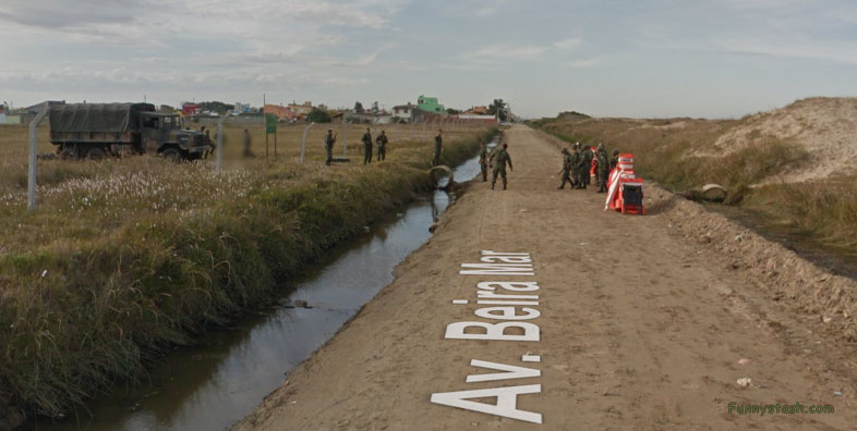
Brazil Army Crossing VR Links War
Projeto Eclipse Av. Beira Mar, 2675-2539 - Rio Grande, RS, 96207-490, Brazil
Once a landmark called Projeto Eclipse was a military operation of a coalition between Brazils Military and Americans Nasa now is a relic recon area close to the border of Uruguay, to the left of screen is the enduring Projeto Eclipse misile launch, the small launch border is the small stream they're currently jumping. Allow us at funnystash to tell you more about the Eclipse Projecto missile launch below
Gps Coordinates / -32.197668,-52.1694843
Eclipse Project, the NASA mission that launched 14 rockets from a base set up on the coast of Rio Grande do Sul. It is a story that endures above all in the memory of those who witnessed it.
Link Location Gps / Gps Link -32.1976118 / Gps Link -32.1975519 / Gps Link -32.1974278
Gps Coordinates / -32.1976118,-52.1694107 / -32.1975519,-52.1693369 / -32.1974278,-52.169159
One hundred and fifty (perhaps as many as 380) scientists from the US space agency, NASA, were gathered in front of the Atlantic Ocean when the countdown began. Exactly at 10 am, one of the biggest experiments carried out in the middle of the space race would be launched
Link Location Gps / Gps Link -32.1973629 / Gps Link -32.1972989
Gps Coordinates / -32.1973629,-52.169073 / -32.1972989,-52.1689936
One of the rare moments in which the Moon would come between the Sun and the Earth, causing the day turned to night. Equipped with equipment capable of recording characteristics of the upper layers of the atmosphere, 14 projectiles would travel up in the sky for more than 100 kilometers, send information to radars installed on the ground and, seconds later, plunge into the sea.
Gps Coordinates / -32.1976118,-52.1694107
The total solar eclipse of November 12, 1966, had no more than 24 minutes of partial darkness and 120 seconds of total darkness. But it was a unique opportunity to carry out studies that could not be carried out under normal conditions, due to the intense luminosity of the Sun. Therefore, it was the reason for an investment of a fortune of dollars, which made the so-called Eclipse Project possible. Ships and planes loaded with researchers and more than 800 tons of machinery left the United States. It took three months for them to install and test all the material at this strategic point, which for weeks caught the attention of the world news, a plot of land next to Cassino beach, on the coast of Rio Grande do Sul.


