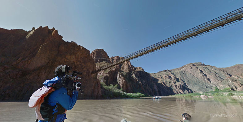
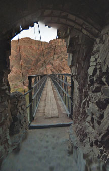
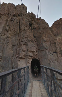
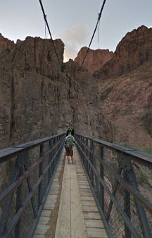
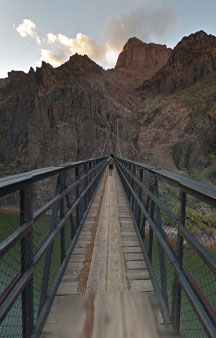
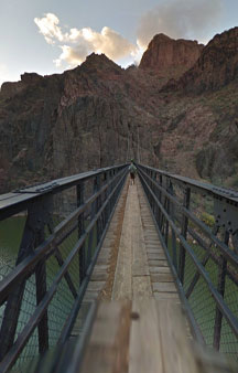
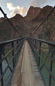
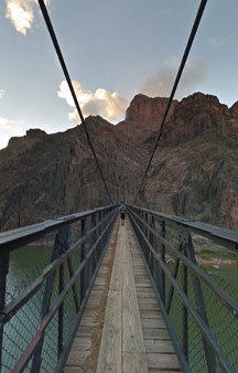
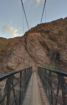
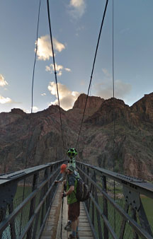
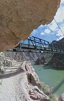
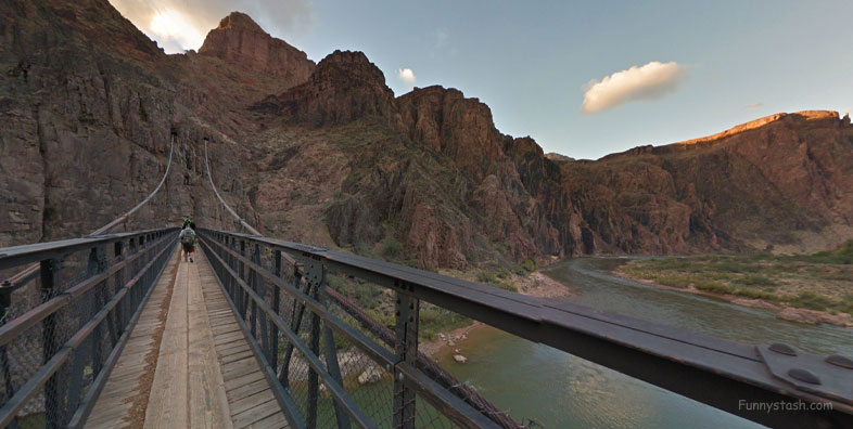
American Society of Civil Engineers. - "The Kaibab Trail Suspension Bridge is a prime example of engineering innovation.
Link Location Gps ← Find Best directions
Gps Coordinates / 36.1011964,-112.0881388
Black Bridge VR Grand Canyon Colorado River
4W26+FPH Grand Canyon Village, Arizona, USA
Engineering this bridge at the base of one of the world’s greatest wonders—the Grand Canyon—illustrates the resourcefulness and innovative spirit of the civil engineers responsible for this project." - American Society of Civil Engineers.
Link Location Gps -112.0890462
Gps Coordinates / 36.101068,-112.0890462
On February 23, 2019, the bridge was recognized as a National Historic Civil Engineering Landmark by the American Society of Civil Engineers, saying, the above quote was a full quote from American Society of Civil Engineers.
Link Location Gps / Gps Link -112.0893566 / Gps Link -112.0895607 / Gps Link -112.0903993
Gps Coordinates / 36.1010139,-112.0893566 / 36.1009624,-112.0895607 / 36.1006654,-112.0903993
Before 1907, the only way to cross the river was by boat, a dangerous method which cost many lives.
Link Location Gps / Gps Link -112.088795 / Gps Link -112.0888639 / Gps Link -112.0889325
Gps Coordinates / 36.1003438,-112.088795 / 36.1004275,-112.0888639 / 36.1005085,-112.0889325
Then, outdoorsman David Rust built a privately operated cableway. The cableway was a 6 by 10 feet steel cage large enough for one mule or several people that would carry passengers across the river, but the passage was considered precarious.
Link Location Gps / Gps Link -112.0890613 / Gps Link -112.0891124 / Gps Link -112.0891922
Gps Coordinates / 36.1006262,-112.0890613 / 36.1006881,-112.0891124 / 36.1007803,-112.0891922
The second crossing was a suspension bridge that lacked stiffness. It was built in 1920 and proved to be too flexible to safely carry pedestrians across the river as the number of visitors to the park was increasing.
Link Location Gps / Gps Link -112.0893381 / Gps Link -112.0894147 / Gps Link -000.000
Gps Coordinates / 36.1009431,-112.0893381 / 36.1010347,-112.0894147 / 36.1011083,-112.0894771
Black Bridge was designed by Ward Webber and constructed by John Lawrence. The Black Bridge was built in 1928.
Link Location Gps / Gps Link -112.0895375 / Gps Link -112.0895972 / Gps Link -112.0896564
Gps Coordinates / 36.1011802,-112.0895375 / 36.1012524,-112.0895972 / 36.1013255,-112.0896564
It would remain the only crossing of the river for hundreds of river miles until the Silver Bridge was built just downstream within the park during the 1960s.
Link Location Gps / Gps Link -112.0897174 / Gps Link -112.0897312 / Gps Link -112.0896221
Gps Coordinates / 36.1013931,-112.0897174 / 36.1014931,-112.0897312 / 36.1014442,-112.0896221
As motorized vehicles could not access the construction site, humans and mules transported the 122 tons in materials down the nine miles of trail.
Link Location Gps / Gps Link -112.0898241 / Gps Link -112.0899522
Gps Coordinates / 36.1014212,-112.0898241 / 36.1014146,-112.0899522
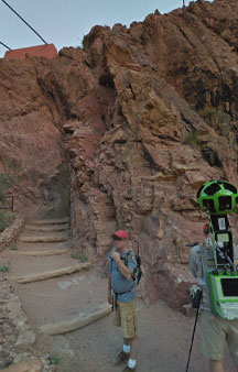
The bridge is part of the South Kaibab Trail and is the river crossing used by mules going to Phantom Ranch.
Link Location Gps -112.0892599
Gps Coordinates / 36.1008547,-112.0892599
The Black Bridge and Silver Bridge, located about 2,300 feet downstream, are the only spans in hundreds of river miles.


