Ancient America attraction written and carved in Stone meters away from main highways 360-s vr locations
Link Location Gps ← Find Best directions
Gps Coordinates / 37.9879265,-109.5180359
Petroglyphs Needles District Canyonlands National Park Utah Art Panorama
UT-211, Monticello, UT 84535, United States
The first carvings at the Newspaper Rock site were made around 2,000 years ago, left by people from the Archaic, Anasazi, Fremont, Navajo, Anglo, and Pueblo cultures. In Navajo, the rock is called "Tse' Hone'" which translates to a rock that tells a story.
July 2016
Link Location Gps -109.5180664
Gps Coordinates / 37.9879494,-109.5180664
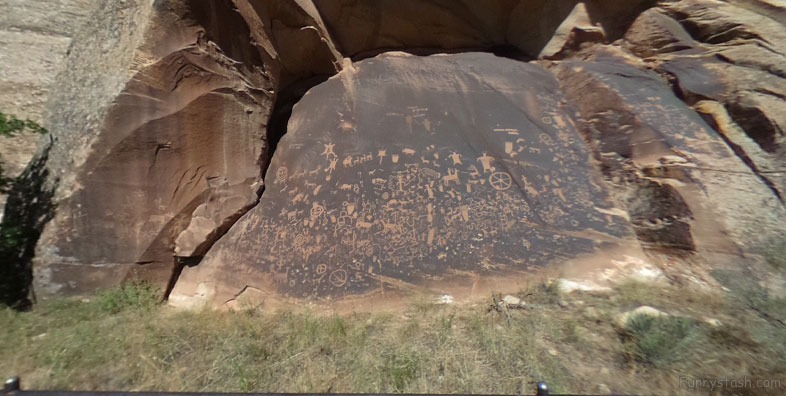
The petroglyphs were carved by Native Americans during both the prehistoric and historic periods. There are over 650 rock art designs. The drawings on the rock are of different animals, human figures, and symbols. These carvings include pictures of deer, buffalo, and pronghorn antelope. Some glyphs depict riders on horses, while other images depict past events like in a newspaper. While precisely dating the rock carvings has been difficult, repatination of surface minerals reveals their relative ages. The reason for the large concentration of the petroglyphs is unclear.
July 2012
Link Location Gps -109.5181033
Gps Coordinates / 37.9879583,-109.5181033
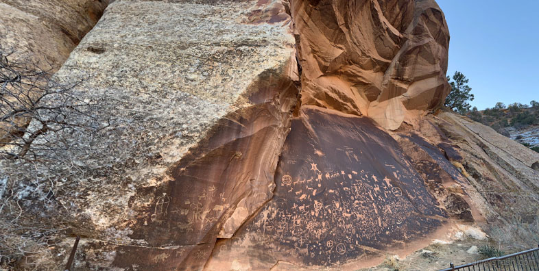
The pictures at Newspaper Rock were inscribed into the dark coating on the rock, called desert varnish. Desert varnish is a blackish manganese-iron deposit that gradually forms on exposed sandstone cliff faces owing to the action of rainfall and bacteria. The ancient artists produced the many types of figures and patterns by carefully pecking the coated rock surfaces with sharpened tools to remove the desert varnish and expose the lighter rock beneath. The older figures are themselves becoming darker in color as new varnish slowly develops.
March 2018
Link Location Gps -109.5179291
Gps Coordinates / 37.988102,-109.5179291
Newspaper Rock State Historic Monument is a Utah state monument featuring a rock panel carved with one of the largest known collections of petroglyphs.It is located in San Juan County, Utah, along Utah State Route 211, 28 miles northwest of Monticello and 53 miles south of Moab.Nov 2020
Gps Coordinates / 37.9880211,-109.517893
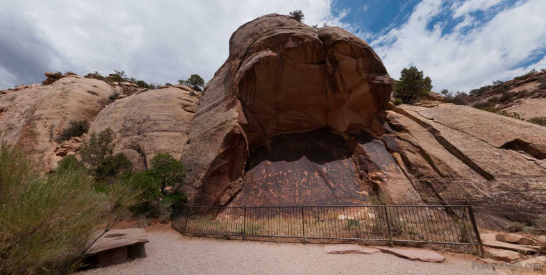
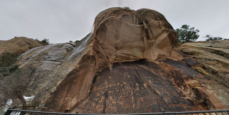
It is along the relatively well-traveled access road into the Needles district of Canyonlands National Park, 12 miles from US 191 and 30 miles from the park boundary. The 200-square-foot rock is a part of the vertical Wingate sandstone cliffs that enclose the upper end of Indian Creek Canyon, and is covered by hundreds of petroglyphs, one of the largest, best preserved and easily accessed groups in the Southwest. The petroglyphs feature a mixture of human, animal, material and abstract forms.
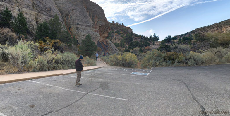
October Carpark Location to petroglyphs short distance
Link Location Gps -109.5182616
Gps Coordinates / 37.9883305,-109.5182616
Newspaper Rock was designated a State Historical Monument in 1961, and was added to the National Register of Historic Places listings in San Juan County, Utah as Indian Creek State Park in 1976.


