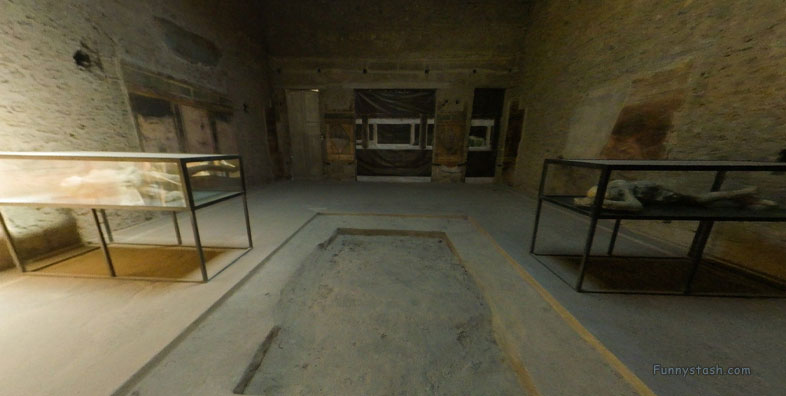
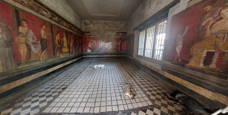
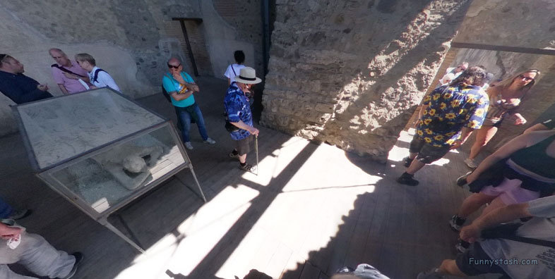
Villa built 2nd century BC reached its period of maximum splendor during Augustan age, two women and child found in lower pumice eruption layers of Villa
Link Location Gps ← Find Best directions
Gps Coordinates / 40.7537165,14.4775534
Pompei Roman Ruins VR Archeology Villa Of The Mysteries
QF3H+F2M Pompei, Metropolitan City of Naples, Italy
Maximum splendor during Augustan age when Villa was considerably enlarged and embellished. Found in lower pumice eruption layers of the Villa, suggesting bodies were caught in the early stages of the eruption of Mount Vesuvius.
Important restoration and conservation work on the frescoes took place from 2013 to 2015.
Gps Coordinates / 40.7535341,14.4773439
Six bodies (one girl near the entrance, one woman, four others in the cryptoporticus) were found in the later higher pyroclastic eruption layers indicating they had survived the first part of the catastrophe.
Link Location Gps / Gps Link 40.7535865 / Gps Link 40.7535417 / Gps Link 40.7535488
Gps Coordinates / 40.7535865,14.4772667 / 40.7535417,14.477376 / 40.7535488,14.4773285
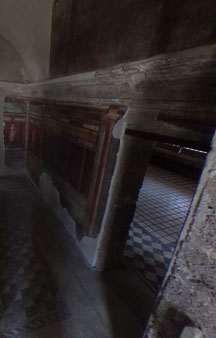
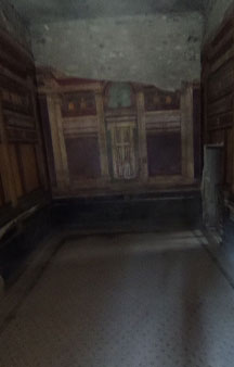
Although covered with meters of pumice and ash, the Villa sustained only minor damage during the eruption of Mount Vesuvius in 79 AD. Most of its walls, ceilings, and particularly its frescoes survived largely intact.
The villa is named for the paintings Room 5, which are in the Second Style and dated to about 70-60 BC.
Link Location Gps / Gps Link 40.7535729 / Gps Link 40.7535764 / Gps Link 40.7536287
Gps Coordinates / 40.7535729,14.477371 / 40.7535764,14.4774349 / 40.7536287,14.4773749
Well-preserved suburban ancient Roman villa on the outskirts of Pompeii, southern Italy.
Link Location Gps / Gps Link 40.7536711 / Gps Link 40.7536901 / Gps Link 40.7537858
Gps Coordinates / 40.7536711,14.4774073 / 40.7536901,14.477417 / 40.7537858,14.4776054
Recent research, however, has posited that the villa was built in the early 1st century BC around the time of Sulla.
In 2018, archaeologists discovered the unique remains of harnessed horses.
Link Location Gps / Gps Link 40.7538465 / Gps Link 40.753822
Gps Coordinates / 40.7538465,14.4773527 / 40.753822,14.4772809
This analysis is based on stratigraphic evidence and the dating of the Second Style frescoes, which are the earliest decoration in the villa stylistically dating to the early 1st century BC.
After construction, it was then a villa urbana, which is a type of suburban villa, with large rooms and hanging gardens, in a panoramic position.
Gps Coordinates / 40.7536117,14.4775
Following the earthquake of 62 AD, it fell into disrepair, as did much of the city, and was transformed into a villa rustica with the addition of agricultural equipment such as a wine press.
-
The villa, initially called Villa Item, was uncovered between 1909 and 1910 in an excavation conducted by Giuseppe Spano, a more in-depth investigation was carried out between 1929 and 1930 by Amadeo Maiuri, following the expropriation imposed by the Italian State.
-
Get your Pompei tour tickets from official vendors
-
https://www.pompeionline.net/en/
-
https://www.pompeiitourguide.com/
-
https://www.pompeii-tickets.com/
-
https://www.pompeitickets.com/
-
-


