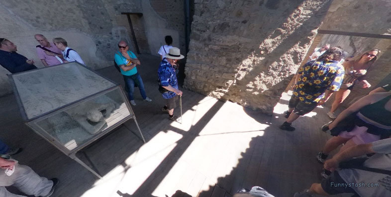
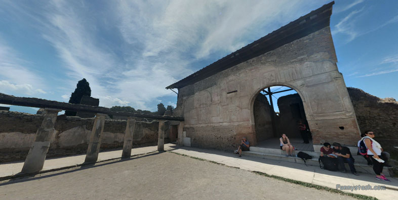
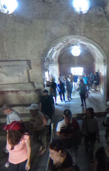
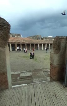
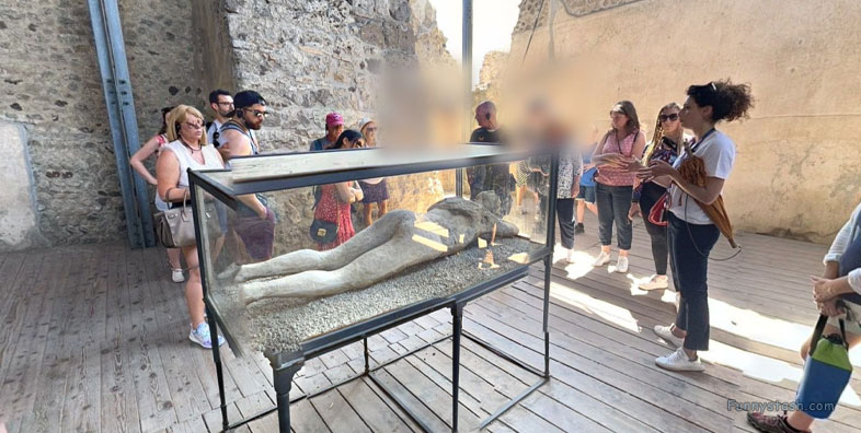
Stabian Baths are an ancient Roman bathing complex with a few mummified inhabitants constructed 125 BC
Link Location Gps ← Find Best directions
Gps Coordinates / 40.7497783,14.4874117
Pompei Roman Ruins VR Archeology Stabian Baths
Via dell’Abbondanza, 15-55, 80045 Pompei NA, Italy
The Stabian Baths were damaged in the AD 62 Pompeii earthquake, but were rebuilt, enlarged and remodelled to make them even more luxurious than before.
The arrangement is known as the 'single-axis row type', the most common model for baths adopted all over the Roman world.
Gps Coordinates / 40.749831,14.4874694
A sundial found on the site, with an inscription in Oscan, commemorates the magistrate who had the first bath building constructed using fines levied by the local administration.
Link Location Gps / Gps Link 40.7497867 / Gps Link 40.7498207 / Gps Link 40.7500305
Gps Coordinates / 40.7497867,14.48733 / 40.7498207,14.4876585 / 40.7500305,14.487236
By the time Pompeii became a Roman colony in 80 BC, the Stabian Baths were already a sizeable building occupying half a city block.
Remains of a bronze single bath and bronze benches were found when the room was excavated.
Link Location Gps / Gps Link 40.7498974 / Gps Link 40.7499087 / Gps Link 40.749905
Gps Coordinates / 40.7498974,14.4875441 / 40.7499087,14.4875688 / 40.749905,14.4875383
Water was drawn from a well and stored in a reservoir on the roof. An inscription records that the baths were extended by the duoviri (city magistrates) Caius Uulius and Publius Aninius after the establishment of the colony.
Link Location Gps / Gps Link 40.74991 / Gps Link 40.7499361 / Gps Link 40.7499632
Gps Coordinates / 40.74991,14.4875233 / 40.7499361,14.487496 / 40.7499632,14.4874889
The work having been undertaken by the duoviri suggests that the Stabian Baths were publicly owned.
Walls and floors of the warm and hot rooms were heated by a hypocaust heating system, earliest surviving example from the Roman world.
Link Location Gps / Gps Link 40.7500391 / Gps Link 40.7500992 / Gps Link 40.7501068
Gps Coordinates / 40.7500391,14.4874241 / 40.7500992,14.4874001 / 40.7501068,14.4873667
Running water was supplied to the baths for the first time around the turn of the first century AD, when they were connected to the city's aqueduct.
Link Location Gps / Gps Link 40.7497467 / Gps Link 40.7501335 / Gps Link 40.7500114
Gps Coordinates / 40.7497467,14.48747 / 40.7501335,14.4875221 / 40.7500114,14.487258
It was likely around this time that a house to the west of the palaestra was demolished to make room for an outdoor swimming pool (natatio), ball court, a second changing room, and wings of rooms on either side which were either loggias or contained shallow pools.
Heat was produced from a single furnace, and circulated in the space under the floors, which were raised on tile pillars.
Link Location Gps / Gps Link 40.7499008 / Gps Link 40.7498283 / Gps Link 40.7498525
Gps Coordinates / 40.7499008,14.4871836 / 40.7498283,14.4872141 / 40.7498525,14.4875667
The rooms which flanked this pool had garden frescoes painted on the walls above a marble dado (lower portion of the wall above the plinth).
By the time Pompeii became a Roman colony in 80 BC, the Stabian Baths were already a sizeable building occupying half a city block.
Gps Coordinates / 40.7497848,14.4873505
The women's side had the same facilities with the exception of the frigidarium, but the chambers were smaller and much plainer in terms of decoration.
.
The seismic activity in the area rendered the baths especially vulnerable to damage – they appear to have been at least partially closed and undergoing a general repair/remodel when the eruption of Vesuvius took place in 79.
-
Get your Pompei tour tickets from official vendors
-
https://www.pompeionline.net/en/
-
https://www.pompeiitourguide.com/
-
https://www.pompeii-tickets.com/
-
https://www.pompeitickets.com/
-
-


