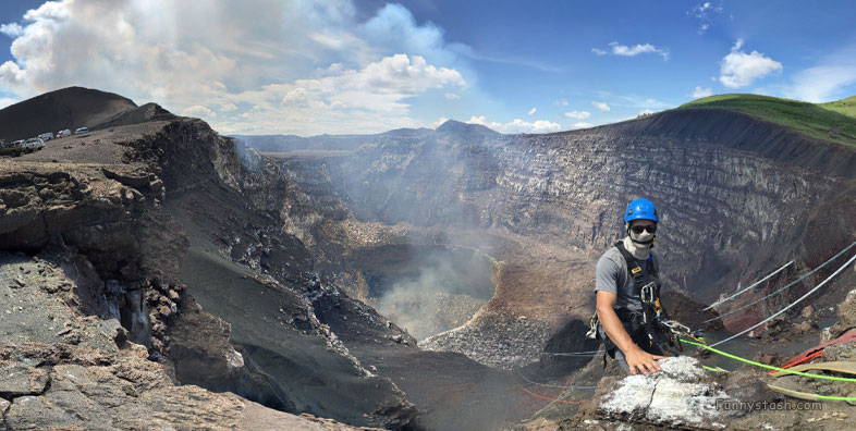
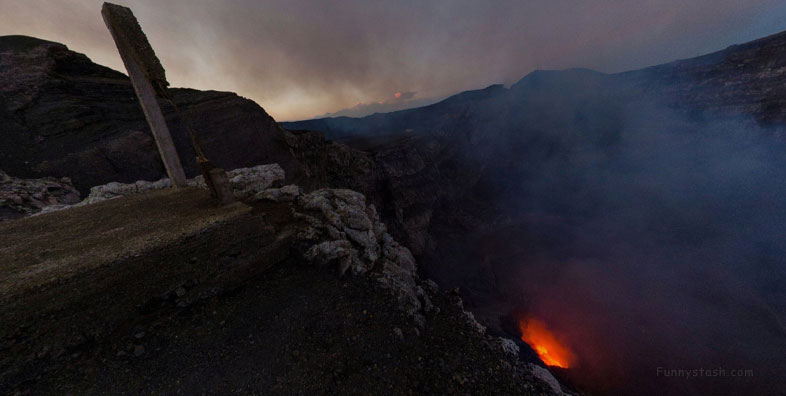
National Park surrounded by carparks still dangerous as soaring eruptions routinely melt cars into the asphalt is oddly busy with tourists
Link Location Gps ← Find Best directions
Gps Coordinates / 11.9819934,-86.1677266
Volcano Masaya VR Nicaragua Adventure Locations
XRJJ+QWR La Sabanita, Nicaragua
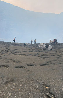
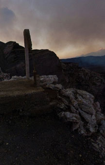
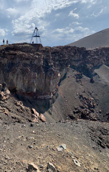
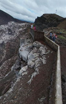
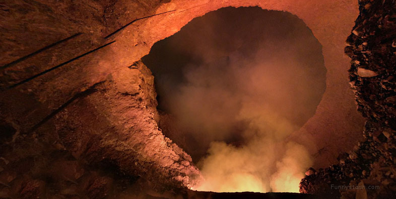
This is a popular tourist destination but for some it's hard to see why, unlike many soaring volcanos that are hard to access this violent volcano has ease of access that even has a bus terminal 15 feet away from the entrance of this very deep volcano.
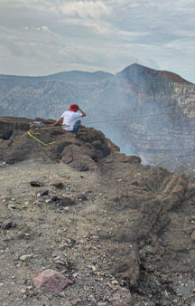
On March 4, 2020, tightrope daredevil Nik Wallenda walked on a steel cable over the caldera.
Gps Coordinates / 11.9829852,-86.1655451
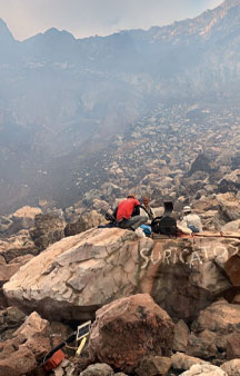
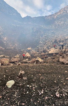
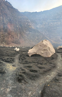
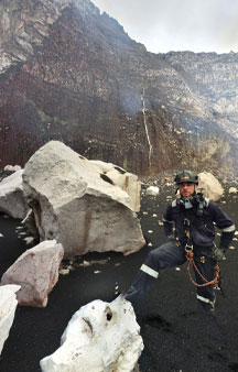
This volcano has a violent dangerous history of being anywhere near it. It routinely reminds daytrip visitors of it's ferocious temper as it sends rocks the size of houses hundreds of feet into the air directly on path to the innocent seeming bus terminal, as the Volcano is hundreds of feet below the bus terminal at first it's easy to forget it's even there.
Link Location Gps / Gps Link -86.1674678 / Gps Link -86.1673456 / Gps Link -86.1672657
Gps Coordinates / 11.9839466,-86.1674678 / 11.9838324,-86.1673456 / 11.9840501,-86.1672657
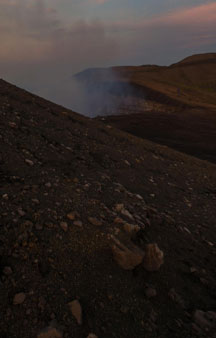
Although the recent activity of Masaya has largely been dominated by continuous degassing from an occasionally lava-filled pit crater, a number of discrete explosive events have occurred in the last 50 years.
In 2008, the mountain erupted spewing ash and steam.
Link Location Gps / Gps Link -86.1670435 / Gps Link -86.1691819 / Gps Link -86.1688988
Gps Coordinates / 11.9841219,-86.1670435 / 11.9857113,-86.1691819 / 11.9856506,-86.1688988
One such event occurred on November 22, 1999, which was recognised from satellite data.
Link Location Gps / Gps Link -86.1689254 / Gps Link -86.1679652 / Gps Link -86.1679461
Gps Coordinates / 11.9854835,-86.1689254 / 11.9818702,-86.1679652 / 11.9819152,-86.1679461
A hot spot appeared on satellite imagery, and there was a possible explosion. On April 23, 2001, the crater exploded and formed a new vent in the bottom of the crater.
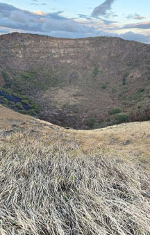
A lake occupies the far eastern end of the caldera.
Link Location Gps / Gps Link -86.167854 / Gps Link -86.167767 / Gps Link -86.1677282
Gps Coordinates / 11.9819388,-86.167854 / 11.981935,-86.167767 / 11.9819634,-86.1677282
The explosion sent rocks with diameters up to 60 cm (24 in) which travelled up to 500 m (1,600 ft) from the crater.
Link Location Gps / Gps Link -86.1677184 / Gps Link -86.1676987 / Gps Link -86.1673597
Gps Coordinates / 11.9819279,-86.1677184 / 11.9819221,-86.1676987 / 11.9813783,-86.1673597
Vehicles in the visitors area were damaged and one person was injured.
Link Location Gps / Gps Link -86.1655451 / Gps Link -86.1676792 / Gps Link -86.1675478
Gps Coordinates / 11.9829852,-86.1655451 / 11.981911,-86.1676792 / 11.9819025,-86.1675478
On October 4, 2003, an eruption cloud was reported at Masaya. The plume rose to a height of about 4.6 km (2.9 mi).
Link Location Gps / Gps Link -86.1672236 / Gps Link -86.1673555 / Gps Link -86.1674489
Gps Coordinates / 11.9820065,-86.1672236 / 11.9817334,-86.1673555 / 11.981357,-86.1674489
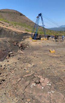
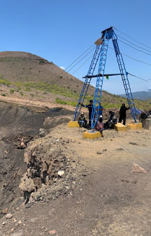
This volcano is monitored by the Deep Earth Carbon Degassing Project. Volcanic gas emissions from this volcano are measured by a Multi-Component Gas Analyzer System, which detects pre-eruptive degassing of rising magmas, improving prediction of volcanic activity.
Link Location Gps / Gps Link -86.1674608 / Gps Link -86.1639903 / Gps Link -86.1641467
Gps Coordinates / 11.9812861,-86.1674608 / 11.9839268,-86.1639903 / 11.9846181,-86.1641467
Nicaragua's first and largest national park, and one of 78 protected areas of Nicaragua.
Link Location Gps / Gps Link -86.1638517 / Gps Link -86.1665812 / Gps Link -86.166673
Gps Coordinates / 11.9859404,-86.1638517 / 11.9864321,-86.1665812 / 11.98662,-86.166673
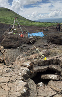
In the park is a lava tube formed by lava flows, you can find bats and look inside and observe the glowing lava in the dark crater mouth of the volcano.
Link Location Gps / Gps Link -86.1664759 / Gps Link -86.166727
Gps Coordinates / 11.9864828,-86.1664759 / 11.9866636,-86.166727
Masaya is one of 18 distinct volcanic centers that make up the Nicaraguan portion of the Central American Volcanic Belt (CAVF).
-
The floor of Masaya caldera is mainly covered by poorly vegetated over lava, indicating resurfacing within the past 1,000 or so years, but only two lava flows have erupted since the sixteenth century.
Gps Coordinates / 11.9836388,-86.16836
The first, in 1670, was an overflow from the Nindiri crater, which at that time hosted a 1-km-wide lava lake.
The other, in 1772, issued from a fissure on the flank of the Masaya cone.
Since 1772, lava has appeared at the surface only in the Santiago pit crater (presently active and persistently degassing) and possibly within Nindiri crater in 1852.
.
We left a few travel agencies below for this volcano let us know how you got along.
-
Nextadventurenicaragua.com/tours/masaya-volcano-night-tour/
.
Welcometonicaragua.net/nicaragua-one-day-tours/masaya-volcano-at-night-tour/
.
Welcometonicaragua.net/nicaragua-one-day-tours/volcanoes-full-day/


