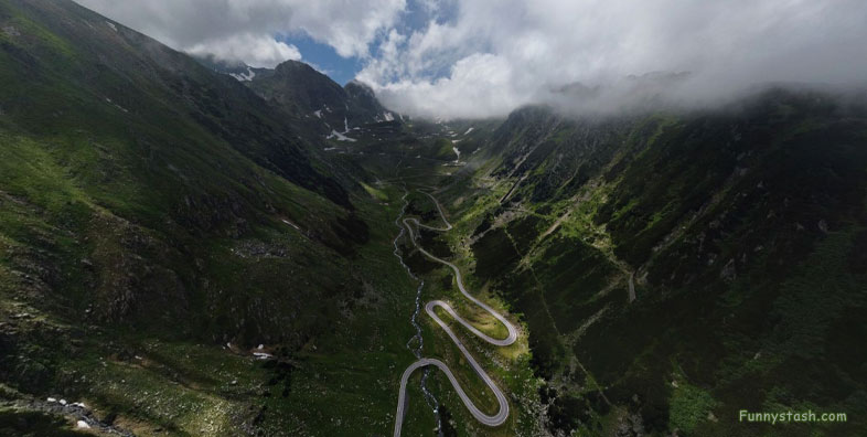
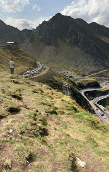
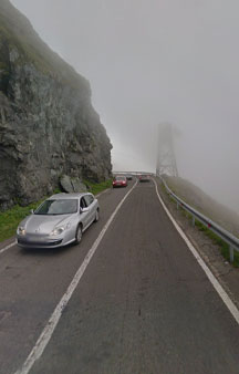
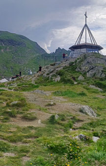
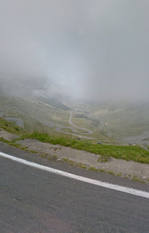
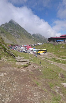
Built in early 1970s as a strategic military route, connects historic regions of Transylvania at an elevation of 6,699 feet nearby Arefu Draculas hometown
Link Location Gps ← Find Best directions
Gps Coordinates / 45.606941,24.6161741
Transfagarasan Strategic Military Mountain Route VR Romania
DN7C, Cârțișoara 500500, Romania
1968 invasion of Czechoslovakia by the Soviet Union deemed the construction of this military road of grave importance as many as 40 soldiers lost their lives constructing this road but other unofficial estimates by workers put the number into the hundreds.
-
The Transfăgărășan constructed during 1970 - 1974 while the rule of Nicolae Ceaușescu as a response to the 1968 invasion of Czechoslovakia by The Soviet Union.
Gps Coordinates / 45.60539,24.6167159
Nicolae Ceaușescu wanted to ensure quick military access across the mountains in case of a Soviet invasion. At the time, Romania already had several strategic mountain passes through the Southern Carpathians easy for Soviet control during attack.
Link Location Gps / Gps Link 45.6053547 / Gps Link 45.6055234 / Gps Link 45.60539
Gps Coordinates / 45.6053547,24.6161642 / 45.6055234,24.616822 / 45.60539,24.6167159
The Transfăgărășan was featured in a segment of the British TV show Top Gear, in the first episode of Series 14 (November 2009). Host Jeremy Clarkson proclaimed that the Transfăgărășan was "the best road in the world," a title the presenters had previously given to the Stelvio Pass in Italy.
Highly Rated Cycling Tours some rated by reviewers as similar as Tour de France difficulty.
Link Location Gps / Gps Link 45.6058503 / Gps Link 45.605278 / Gps Link 45.6053388
Gps Coordinates / 45.6058503,24.6175639 / 45.605278,24.616944 / 45.6053388,24.6171128
The road is usually closed from late October until late June because of snow. Depending on the weather, it may remain open until as late as November, or may close even in the summer
Link Location Gps / Gps Link 45.605262 / Gps Link 45.6054649 / Gps Link 45.6093215
Gps Coordinates / 45.605262,24.617104 / 45.6054649,24.6175799 / 45.6093215,24.6143829
The northern section is used for annual cycling competitions, including the Tour of Romania, and the 22 km (14 mi) section to Bâlea Lake has been used since 2011 for the Sibiu Cycling Tour.
Paved mountain road crossing the southern section of the Carpathian Mountains of Romania.
Link Location Gps / Gps Link 45.6025819 / Gps Link 45.6045605 / Gps Link 45.6043417
Gps Coordinates / 45.6025819,24.615331 / 45.6045605,24.6158134 / 45.6043417,24.6159371
Near the highest point, at Bâlea Lake, the road passes through Bâlea Tunnel, the longest road tunnel in Romania at 884 m (2,900 ft).
Town of Vlad The Impaler closeby on this roads sightseeing
Along the southern section of the road, near the village of Arefu, is Poenari Castle. The castle was the residence of Vlad the Impaler, the inspiration for Bram Stoker's Count Dracula.
.
Visit official brochure tours below if thinking of visiting and let us know how you got on
-
-
-


