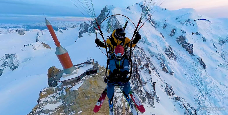
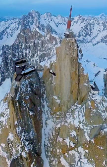
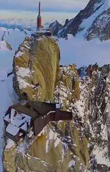
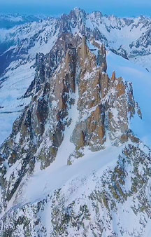
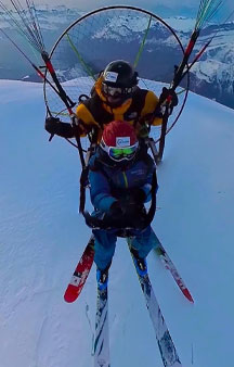
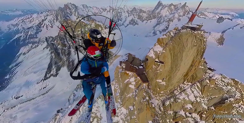
Paragliding over Mont Blanc with choices of landing in Italy, France or Switzerland with the tallest peaks in Western Europe
Link Location Gps ← Find Best directions
Gps Coordinates / 45.8792522,6.8872997
Mont Blanc France Mount Blanc Summit Paragliding VR Adventure Locations
74400 Chamonix, France
At the Refuge Cosmiques suites. On average it take 5-7 hours to reach the summit from there. Climbing Mont Blanc, the tallest peak in Western Europe, is an adventure many aspire to achieve. Those who reach the summit are rewarded with incredible views of some of the most beautiful snow-capped mountains in Europe, as well as the accomplishment of having completed a tough ascent.
It is possible to launch in N,S,E winds but not W
Gps Coordinates / 45.8789975,6.8868797
One of the reasons people fly in the Chamonix valley is to be near the huge mountains. Mont Blanc rises above them all at 4,810m. Only taking 1 hour to land in Chamonix. Like all air sports, is very dependent on weather. So if you like to fly and ski, hike or climb you must be ready to change your target at the last minute.
The temperature can be very cold so take warm clothing.
Link Location Gps / Gps Link 45.8787465 / Gps Link 45.8782172 / Gps Link 45.880687
Gps Coordinates / 45.8787465,6.8864757 / 45.8782172,6.8857071 / 45.880687,6.885506
Directions: There are numerous ways to ascend Mt Blanc. Probably the most common route taken by paragliding pilots is from the Aiguille du Midi. Checking the weather report on chamonix.net the night before.
Launching can sometimes be troublesome as winds can often be different to the forecast.
Link Location Gps / Gps Link 45.8777422 / Gps Link 45.8769225 / Gps Link 45.8757023
Gps Coordinates / 45.8777422,6.8850027 / 45.8769225,6.8838049 / 45.8757023,6.8820196
It is quite amazing to have the choice of landing in Italy, France or Switzerland if you are lucky. An hour of gliding along the Massif du Mt Blanc leaves plenty of time to assess the landing options.
Tandem paraglide for the return journey by air.
Link Location Gps / Gps Link 45.8327429 / Gps Link 45.8452673
Gps Coordinates / 45.8327429,6.865183 / 45.8452673,6.8704624
Pilots may find themselves crossing numerous glaciers, passing by and over refuges and climbers. From the summit it is approximately 3,800m vertically to the valley floor.
This mountain is heavily crevassed and at high altitude. Alpine climbing knowledge, as well as crampons, ice axe and rope are essential.
Gps Coordinates / 45.8781801,6.8845718
Respect take-off sites and landing fields
Clos du Savoy (forbidden in winter). Launch sites are free for all pilots - 'vol Libre' at its best!
The previous Argentière landing field is closed. Please don't go there as negotiations are in process. A free guide book covering numerous sites in the Chamonix and surrounding areas (in English and French) is available from the paragliding schools.
-
Book your visit at an official paragliding outfit below today
-
Airport Transfers - Book and Pay Now below!
.


