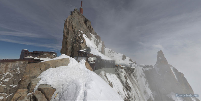
The Gouter Hut is a mountain refuge in the French ranges of Haute-Savoie. It is located at a height of 12,582 feet
Link Location Gps ← Find Best directions
Gps Coordinates / 45.8339254,6.8657482
Mont Blanc Du Gouter Route Mount Blanc Ascend Climb VR Travel Adventure Locations
Glacier de Taconnaz, France
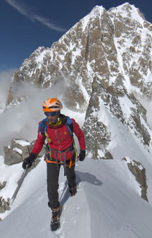
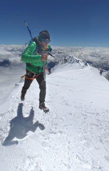
It is an important staging post for many mountaineers on the most popular means of climbing to the summit of Mont Blanc, known as the Goûter Route. It is the least difficult technically and therefore the one that concentrates at least an estimated 75% of the climbs. Each year, thousands of climbers attempt to summit on this route, sleeping overnight at the refuge and departing in the early morning for the final push.
The final stage building in its present state can accommodate up to 120 visitors.
Gps Coordinates / 45.8337146,6.8661027
The hut has been rebuilt and expanded a number of times over the last 150 years as its popularity as a mountaineering base has increased. There have been numerous deaths and injuries sustained by climbers on its access route.
The temperatures rarely exceeds 0 °C.
Link Location Gps / Gps Link 45.8334107 / Gps Link 45.8343736 / Gps Link 45.8329383
Gps Coordinates / 45.8334107,6.8664214 / 45.8343736,6.8651226 / 45.8329383,6.866746
The refuge, with its own helicopter landing platform for logistics and mountain rescue operations, is located in the south-east of France, in the Auvergne-Rhône-Alpes region and the department of Haute-Savoie.
The presence of a shelter at this location dates back to 1854
Link Location Gps / Gps Link 45.8319225 / Gps Link 45.8315613 / Gps Link 45.8312839
Gps Coordinates / 45.8319225,6.8668881 / 45.8315613,6.8666343 / 45.8312839,6.8651125
It is located on the territory of the municipality of Saint-Gervais-les-Bains and dominates the Bionnassay glacier, on the eastern slope of Val Montjoie in the Mont Blanc massif. It stands at an altitude of 3,835 meters on the snowy ridge of the Aiguille du Goûter (3,863 m), which separates the Val Montjoie from the main basin of the Arve Valley, with the towns of Les Houches and the alpinism and ski resort of Chamonix-Mont-Blanc.
Link Location Gps / Gps Link 45.8314403 / Gps Link 45.8316792 / Gps Link 45.8320605
Gps Coordinates / 45.8314403,6.8643906 / 45.8316792,6.8638897 / 45.8320605,6.8633612
After the Genevan scientist Horace-Bénédict de Saussure in 1760 offered a reward to the first man to reach the summit of Mont Blanc, inhabitants from the Arve Valley (then part of the independent Duchy of Savoy) started exploring the possibilities. Already before the actual first successful ascent by Jacques Balmat and Michel-Gabriel Paccard via the Glacier des Bossons in 1786, also an approach over the Aiguille du Goûter was considered for a possible gateway to the summit.
Relaxed fun precarious downward descent by foot or parasail towards Saint-Gervais
Link Location Gps / Gps Link 45.8323625 / Gps Link 45.8328159
Gps Coordinates / 45.8323625,6.8630599 / 45.8328159,6.8627325
As early as 1784, two years before the first ascent of Mont Blanc, the hunters Jean-Marie Couttet and François Guidet suggested this location to build some kind of cabin to facilitate climbers, but it was not until 1854 that Dr. Charles Loiseau had a crude stone shed (abri) built for him to spend the night on 30 July 1854, prior to an ascent attempt. He was unsuccessful in this, having been thwarted by bad weather.
Around the refuge, the winds can blow at 300 kilometers per hour
Gps Coordinates / 45.8313001,6.8659612
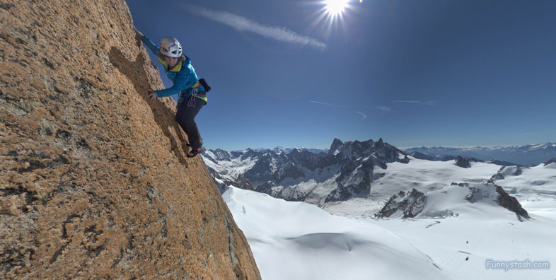
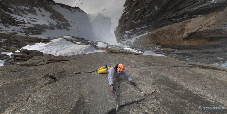
The Goûter hut can in summer time be reached in about five hours by a hike and a scramble from the station of the Nid d'Aigle, terminus of the Tramway du Mont Blanc (TMB) at 2372m altitude. From there a path trodden by the multitude of aspiring climbers leads to the edge of the Tête Rousse Glacier with its namesake refuge (3,167 m). From there the dangerous Grand Couloir has to be crossed, where the scramble on the ridge alongside the couloir begins, which is highly exposed to stonefall.


