Come with Funnystash to the ancient Turkish city of Derinkuyu in these 360 Travel and Adventure panorama Links
Link Location Gps ← Find Best directions
Gps Coordinates / 38.3735313,34.7347679
Derinkuyu Ancient Underground City Turkey Travel n Adventure
Bayramlı, Niğde Cd., 50700 Derinkuyu/Nevşehir, Turkey
Caves might have been built initially in the soft volcanic rock of the Cappadocia region by the Phrygians in the 8th–7th centuries BC, according to the Turkish Department of Culture.
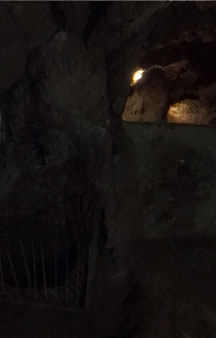
Labyrinth of cave passages await with warnings for claustrophobic folks
Gps Coordinates / 38.3734752,34.7350016
As you can see from these other images just how vast this city is, it’s genius i love the idea that people with such scope in technology and literature can create something as amazing as this but then again even modern science can’t even explain the acoustics of these protection chambers, but these weren’t just for protecting people it was also used to protect livestock also. It would be an insult to them to simply call them protection chambers this looks like two villages under one village, quite an accomplishment for people our experts claim were so primitive, does this construction look like the feat of primitive people let alone the acoustics phenomenon that still lays unexplained till today, this area attracts all kinds of tourists.
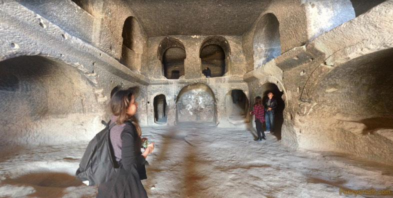
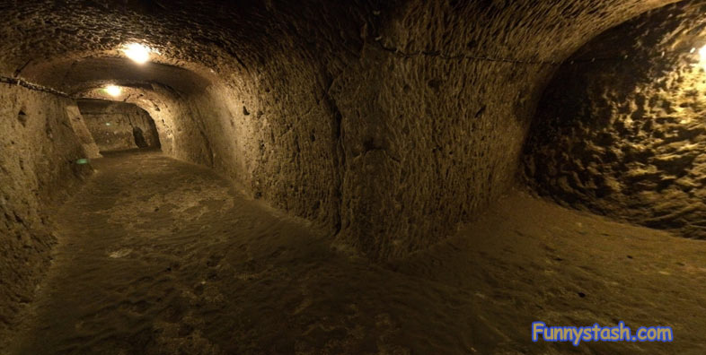
Underground hallways were very spacious for market stalls and cattle drives
Link Location Gps / Gps Link 38.373399 / Gps Link 38.373442 / Gps Link 38.373399
Gps Coordinates / 38.373399,34.7350349 / 38.373442,34.735114 / 38.373399,34.7350349
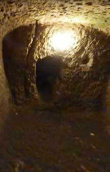
The underground city at Derinkuyu could be closed from the inside with large stone doors. Each floor could be closed off separately.
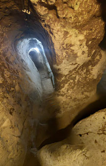
Tunnel hallways can act like Ship emergency hatches incase of emergency
Link Location Gps / Gps Link 38.373442 / Gps Link 38.373442 / Gps Link 38.373442
Gps Coordinates / 38.373442,34.735114 / 38.373442,34.735114 / 38.373442,34.735114
After the region fell to the Ottomans, the cities were used as refuges (Cappadocian Greek: καταφύγια) by the natives from the Turkish Muslim rulers.
Large entrance and exit ways inhabited much human traffic and cattle traffic
Link Location Gps / Gps Link 38.373442 / Gps Link 38.373442
Gps Coordinates / 38.373442,34.735114 / 38.373442,34.735114
As late as the 20th century, the local population, Cappadocian Greeks, were still using the underground cities to escape periodic persecutions.
Link Location Gps / Link 38.3734718 / Link 38.37337 / Link 38.3733482
Gps Coordinates / 38.3734718,34.7345396 / 38.37337,34.7349994 / 38.3733482,34.7352478
When the Phrygian language died out in Roman times, replaced with its close relative the Greek language, the inhabitants, now Christian, expanded their caverns to deep multiple-level structures adding the chapels and Greek inscriptions.
Gps Coordinates / 38.3754152,34.7333682
8th–7th centuries BC with Arab–Byzantine wars (780–1180 AD) Middle Byzantine Period, between the 5th and the 10th centuries.
Link Location Gps / Link 38.373504 / Link 38.3734988 / Link 38.3731968
Gps Coordinates / 38.373504,34.735078 / 38.3734988,34.7350392 / 38.3731968,34.7344542
In 1963, the tunnels were rediscovered after a resident of the area found a mysterious room behind a wall in his home. Further digging revealed access to the tunnel network.
The Largest Underground City In The world
Gps Coordinates / 38.373071,34.7342082
The city could accommodate up to 20,000 people and had amenities found in other underground complexes across Cappadocia, such as wine and oil presses, stables, cellars, storage rooms, refectories, and chapels. Unique to the Derinkuyu complex and located on the second floor is a spacious room with a barrel-vaulted ceiling. It has been reported that this room was used as a religious school and the rooms to the left were studies.
Lit up with regular walk lights it still looks like a purposely built Starwars set, Find Jabba The Hutt Starwars Virtual Locations here
Gps Coordinates / 38.3734428,34.7351123
Richard MacGillivray Dawkins, a Cambridge linguist who conducted research from 1909 to 1911 on the Cappadocian Greek speaking natives in the area, recorded such an event as having occurred in 1909: "When the news came of the recent massacres at Adana, a great part of the population at Axo took refuge in these underground chambers, and for some nights did not venture to sleep above ground."
Link Location Gps / Gps Link 38.3734988 / Gps Link 38.3735048 / Gps Link 38.3734628
Gps Coordinates / 38.3734988,34.7350818 / 38.3735048,34.7351559 / 38.3734628,34.7351509
In 1969, the site was opened to visitors, with about half of the underground city currently accessible.
Gps Coordinates / 38.3726469,34.7350589
Starting between the third and fourth levels are a series of vertical staircases, which lead to a cruciform church on the lowest (fifth) level. The large 55-metre (180 ft) ventilation shaft appears to have been used as a well. The shaft provided water to both the villagers above and, if the outside world was not accessible, to those in hiding.
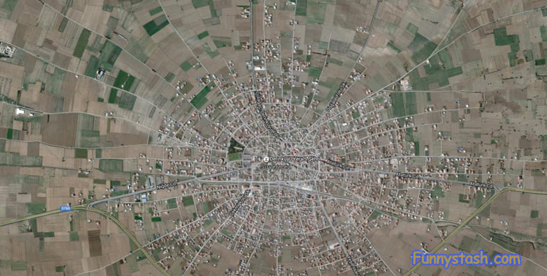
From the Aerial view it just looks like another windy dusty town on the many outskirts of Turkey
Aerial View Derinkuyu Ancient Underground City Turkey
Check this out to see the village from the far outskirts now you know what's under it, leave you with quite the impression
GPS Coordinates / 38.373984, 34.749086


